UN/LOCODE hub · United States
USLFB
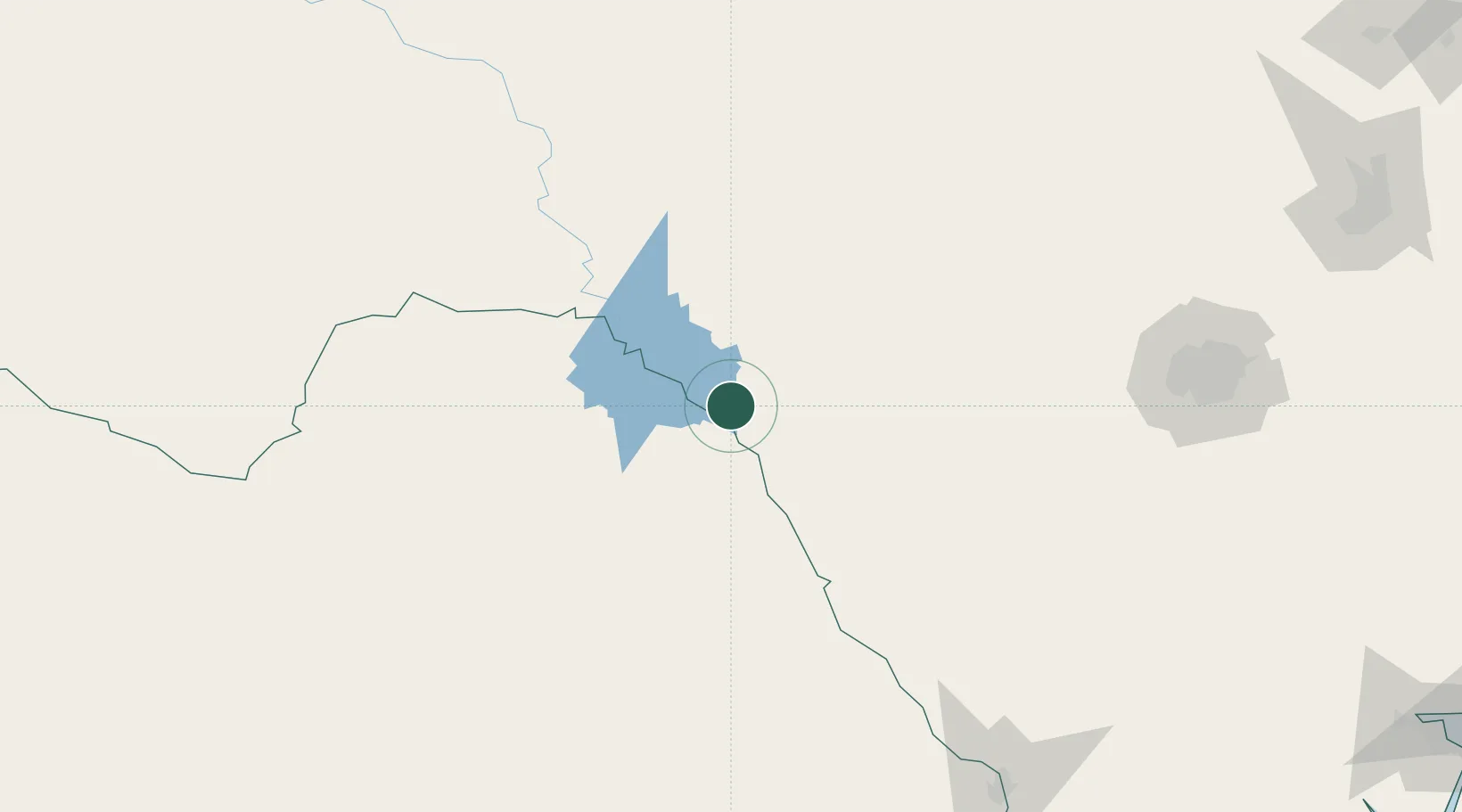
Laughlin Air Force Base
29.3500°, -100.8000°
1,569
Population
3
Transport functions
Transport Functions
Rail
Road
Airport
Hub Profile
Place type
Populated place
Region
Texas
Population
1,569
Time zone
America/Chicago
Elevation
327 m
Location
Nearby Logistics Neighbours
Ports
- 1Corpus Christi373 km
- 2Port Ingleside392 km
- 3Rockport395 km
- 4Port Aransas403 km
- 5Port Lavaca415 km
Airports
Trade Zones
- 1FTZ No. 096 Eagle Pass78 km
- 2FTZ No. 080 San Antonio195 km
- 3FTZ No. 094 Laredo239 km
- 4FTZ No. 183 Austin312 km
- 5FTZ No. 165 Midland326 km
DatabookThe Record of Consolidated Knowledge
United States beyond logistics?