UN/LOCODE hub · United States
USDY3

Dilley

28.6667°, -99.1667°
4,223
Population
3
Transport functions

Transport Functions

Rail
Road
Multimodal
UN/LOCODE

Hub Profile

Place type
Populated place
GeoNames
Region
Texas
GeoNames
Population
4,223
GeoNames
Time zone
America/Chicago
GeoNames
Elevation
171 m
GeoNames

Location

Location of USDY3
Natural Earth 10m (public domain) · Texas · USDY3 · 28.67, -99.17GoogleOSMYandex

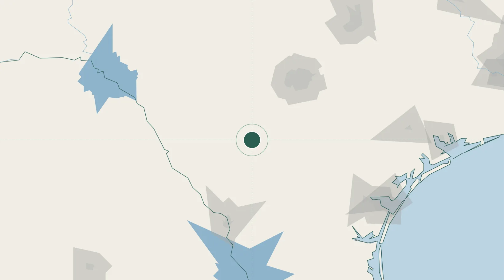
Nearby Logistics Neighbours

Cities
  1. 1Pearsall25 km
  2. 2Tilden64 km
  3. 3Pleasanton75 km
  4. 4D'Hanis75 km
  5. 5Sabinal78 km
Nearest neighbours — logibook spatial index (haversine) over the source coordinates
Ports
  1. 1Corpus Christi197 km
  2. 2Port Ingleside216 km
  3. 3Rockport219 km
  4. 4Port Aransas227 km
  5. 5Port Lavaca249 km
Nearest neighbours — logibook spatial index (haversine) over the source coordinates
Airports
  1. 1Lackland Air Force Base98 km
  2. 2Stinson Municipal Airport101 km
  3. 3San Antonio International Airport118 km
  4. 4Laredo International Airport128 km
  5. 5Randolph Air Force Base129 km
Nearest neighbours — logibook spatial index (haversine) over the source coordinates
Trade Zones
  1. 1FTZ No. 080 San Antonio98 km
  2. 2FTZ No. 094 Laredo128 km
  3. 3FTZ No. 096 Eagle Pass130 km
  4. 4FTZ No. 122 Corpus Christi198 km
  5. 5FTZ No. 183 Austin225 km
Nearest neighbours — logibook spatial index (haversine) over the source coordinates
DatabookThe Record of Consolidated Knowledge
United States beyond logistics?
Browse databook

All Sources

LocationsUN/LOCODE
UN/LOCODE — free
LocationsGeoNames
CC BY 4.0
Portsthe NGA World Port Index
Public domain (US gov)
AirportsOurAirports
Public domain
Trade Zonesthe World Bank SEZ database
CC BY 4.0
Trade ZonesOpen Zone Map
CC BY
← United States locations