Medium airport · Mexico

Quetzalcóatl International AirportMMNL
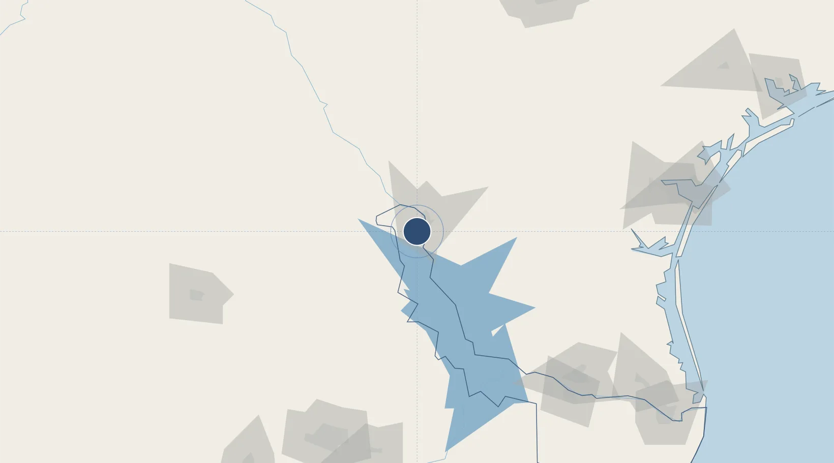
27.4439°, -99.5705°
6,562 ft
Longest runway
1
Runways
484 ft
Elevation

Runway & Layout

Quetzalcóatl International Airport runway & taxiway layout
Runway & taxiway layout — OpenStreetMap (ODbL) / OurAirports

Radio Frequencies

APP
118.3 MHz
NUEVO LAREDO APP/TWR
OurAirports

Navaids

NLD VOR-DME Nuevo Laredo 112.60 MHz
OurAirports

Runways · 1

RunwayDimensions SurfaceTrue headingLit
14/32 6,562 × 148ft Asphalt 151°
OurAirports

Airport Specifications

IATA code
NLD
OurAirports
ICAO code
MMNL
OurAirports
Airport class
Medium airport
OurAirports
Scheduled service
Yes
OurAirports
Runway surface
Asphalt
OurAirports
Served city
Nuevo Laredo
OurAirports

Location

Location of MMNL
Natural Earth 10m (public domain) · Tamaulipas · MMNL · 27.44, -99.57GoogleOSMYandex

Nearby Logistics Neighbours

Airports
  1. 1Laredo International Airport16 km
  2. 2Alice International Airport156 km
  3. 3Piedras Negras International Airport162 km
  4. 4Kingsville Naval Air Station174 km
  5. 5Del Norte International Airport188 km
Nearest neighbours — logibook spatial index (haversine) over the source coordinates
Cities
  1. 1Nuevo Laredo8 km
  2. 2Colombia34 km
  3. 3Oilton60 km
  4. 4Hebbronville89 km
  5. 5San Diego137 km
Nearest neighbours — logibook spatial index (haversine) over the source coordinates
Ports
  1. 1Corpus Christi218 km
  2. 2Port Ingleside239 km
  3. 3Port Aransas252 km
  4. 4Rockport256 km
  5. 5Brownsville272 km
Nearest neighbours — logibook spatial index (haversine) over the source coordinates
Trade Zones
  1. 1FTZ No. 094 Laredo15 km
  2. 2FTZ No. 095 Starr County140 km
  3. 3FTZ No. 096 Eagle Pass167 km
  4. 4FTZ No. 012 McAllen193 km
  5. 5FTZ No. 156 Weslaco210 km
Nearest neighbours — logibook spatial index (haversine) over the source coordinates
DatabookThe Record of Consolidated Knowledge
Mexico beyond logistics?
Browse databook

All Sources

AirportsOurAirports
Public domain
Portsthe NGA World Port Index
Public domain (US gov)
LocationsUN/LOCODE
UN/LOCODE — free
Trade Zonesthe World Bank SEZ database
CC BY 4.0
Trade ZonesOpen Zone Map
CC BY
InfrastructureOpenStreetMap
ODbL 1.0
← Mexico airports