UN/LOCODE hub · United States
USAOD

Atoka

34.3833°, -96.1167°
3,065
Population
3
Transport functions

Transport Functions

Rail
Road
Multimodal
UN/LOCODE

Hub Profile

Place type
Provincial seat
GeoNames
Region
Oklahoma
GeoNames
Population
3,065
GeoNames
Time zone
America/Chicago
GeoNames
Elevation
176 m
GeoNames

Location

Location of USAOD
Natural Earth 10m (public domain) · Oklahoma · USAOD · 34.38, -96.12GoogleOSMYandex

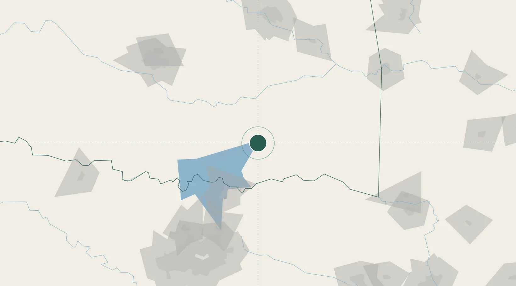
Nearby Logistics Neighbours

Cities
  1. 1Coleman31 km
  2. 2Milburn42 km
  3. 3Kiowa42 km
  4. 4Tishomingo54 km
  5. 5Roff71 km
Nearest neighbours — logibook spatial index (haversine) over the source coordinates
Ports
  1. 1Beaumont515 km
  2. 2Deer Park521 km
  3. 3Houston521 km
  4. 4Pasadena526 km
  5. 5Baytown527 km
Nearest neighbours — logibook spatial index (haversine) over the source coordinates
Airports
  1. 1Durant Regional Airport - Eaker Field56 km
  2. 2Mc Alester Regional Airport63 km
  3. 3Ada Regional Airport69 km
  4. 4North Texas Regional Airport Perrin Field90 km
  5. 5Cox Field103 km
Nearest neighbours — logibook spatial index (haversine) over the source coordinates
Trade Zones
  1. 1FTZ No. 227 Durant49 km
  2. 2FTZ No. 164 Muskogee162 km
  3. 3FTZ No. 258 Bowie County167 km
  4. 4FTZ No. 106 Oklahoma City176 km
  5. 5FTZ No. 053 Rogers County219 km
Nearest neighbours — logibook spatial index (haversine) over the source coordinates
DatabookThe Record of Consolidated Knowledge
United States beyond logistics?
Browse databook

All Sources

LocationsUN/LOCODE
UN/LOCODE — free
LocationsGeoNames
CC BY 4.0
Portsthe NGA World Port Index
Public domain (US gov)
AirportsOurAirports
Public domain
Trade Zonesthe World Bank SEZ database
CC BY 4.0
Trade ZonesOpen Zone Map
CC BY
← United States locations