Medium airport · United States
Ada Regional AirportKADH
34.8052°, -96.6720°
6,203 ft
Longest runway
2
Runways
1,016 ft
Elevation
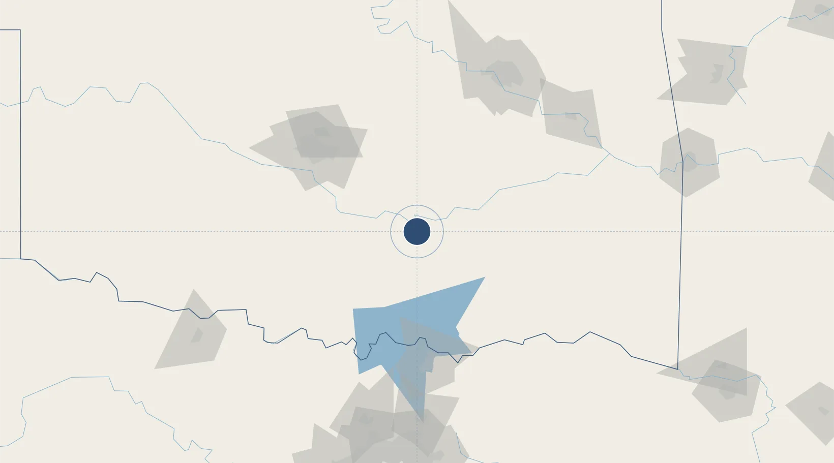
Runway & Layout

Radio Frequencies
AWOS
118.725 MHz
AWOS 3
CNTR
128.1 MHz
FORT WORTH CNTR
RDO
122.45 MHz
MC ALESTER RDO
UNIC
122.8 MHz
CTAF/UNICOM
Runways · 2
| Runway | Dimensions | Surface | True heading | Lit |
|---|---|---|---|---|
| 18/36 | 6,203 × 100ft | Asphalt | 180° | ✓ |
| 13/31 | 2,717 × 50ft | Asphalt | 135° | — |
Airport Specifications
IATA code
ADT
ICAO code
KADH
Airport class
Medium airport
Scheduled service
No
Runway surface
Asphalt
Served city
Ada
Location
Nearby Logistics Neighbours
Airports
Cities
- 1Konawa19 km
- 2Maxwell19 km
- 3Roff26 km
- 4Saint Louis33 km
- 5Wanette35 km
Trade Zones
- 1FTZ No. 227 Durant93 km
- 2FTZ No. 106 Oklahoma City107 km
- 3FTZ No. 164 Muskogee152 km
- 4FTZ No. 053 Rogers County186 km
- 5FTZ No. 258 Bowie County236 km
DatabookThe Record of Consolidated Knowledge
United States beyond logistics?