Medium airport · United States
Mc Alester Regional AirportKMLC
34.8824°, -95.7835°
5,602 ft
Longest runway
1
Runways
770 ft
Elevation
Runway & Layout

Radio Frequencies
ASOS
135.125 MHz
CNTR
132.2 MHz
FORT WORTH CNTR
RDO
122.65 MHz
UNIC
122.95 MHz
CTAF/UNICOM
Navaids
ML NDB Wampa 344 kHz
MLC VORTAC Mc Alester 112.00 MHz
Runways · 1
| Runway | Dimensions | Surface | True heading | Lit |
|---|---|---|---|---|
| 02/20 | 5,602 × 100ft | CONC-F | 020° | — |
Airport Specifications
IATA code
MLC
ICAO code
KMLC
Airport class
Medium airport
Scheduled service
No
Runway surface
CONC-F
Served city
Mc Alester
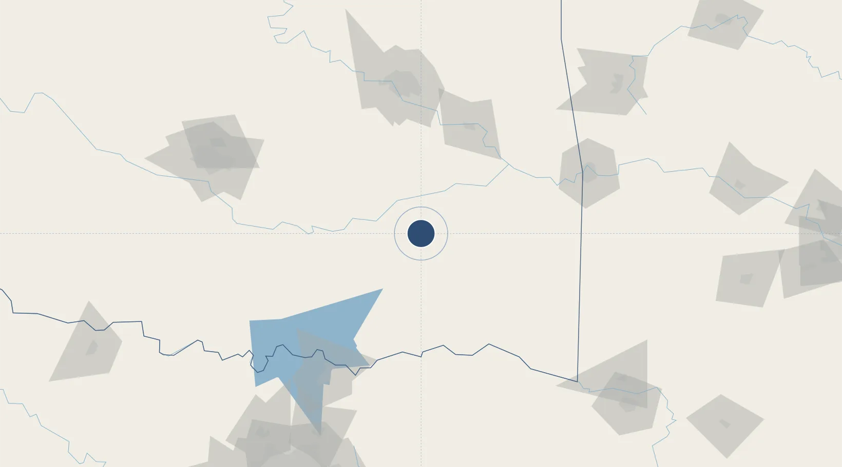
Location
Nearby Logistics Neighbours
Airports
- 1Ada Regional Airport82 km
- 2Durant Regional Airport - Eaker Field119 km
- 3Tulsa Riverside Airport130 km
- 4Fort Smith Regional Airport138 km
- 5Cox Field142 km
Cities
- 1Haileyville20 km
- 2Kiowa21 km
- 3Atoka63 km
- 4Talihina70 km
- 5Stigler73 km
Ports
- 1Port Of Memphis512 km
- 2Beaumont557 km
- 3Orange567 km
- 4Port Neches570 km
- 5Lake Charles571 km
Trade Zones
- 1FTZ No. 164 Muskogee99 km
- 2FTZ No. 227 Durant112 km
- 3FTZ No. 053 Rogers County162 km
- 4FTZ No. 106 Oklahoma City171 km
- 5FTZ No. 258 Bowie County187 km
DatabookThe Record of Consolidated Knowledge
United States beyond logistics?