UN/LOCODE hub · United States
USTSI
Tishomingo
34.2500°, -96.6833°
3,075
Population
2
Transport functions
Transport Functions
Port
Road
Hub Profile
Place type
Provincial seat
Region
Oklahoma
Population
3,075
Time zone
America/Chicago
Elevation
204 m
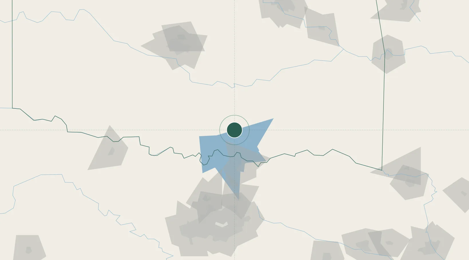
Location
Nearby Logistics Neighbours
Cities
- 1Milburn14 km
- 2Coleman25 km
- 3Mill Creek32 km
- 4Sulphur38 km
- 5Roff43 km
Airports
Trade Zones
- 1FTZ No. 227 Durant38 km
- 2FTZ No. 106 Oklahoma City156 km
- 3FTZ No. 196 Fort Worth181 km
- 4FTZ No. 168 Dallas Fort Worth185 km
- 5FTZ No. 164 Muskogee200 km
DatabookThe Record of Consolidated Knowledge
United States beyond logistics?