Foreign Trade Zone · United States
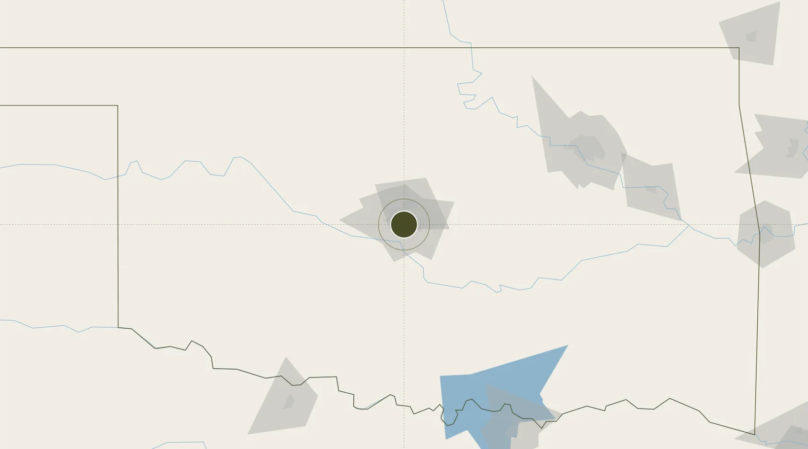
FTZ No. 106 Oklahoma City Active
35.4681°, -97.5220°
668.0 km
Nearest port
10.8 km
Nearest airport
Gateway access
Zone profile
Zone type
Foreign Trade Zone
Region
Oklahoma
Status
Active
Management
Public
Operator
Port Authority of the Greater Oklahoma City Area
Legal framework
Foreign-Trade Zones Act
Location
Nearby Logistics Neighbours
Ports
- 1Deer Park668 km
- 2Port Of Memphis669 km
- 3Houston669 km
- 4Pasadena675 km
- 5Baytown679 km
Airports
- 1OKC Will Rogers World Airport11 km
- 2Tinker Air Force Base14 km
- 3Stillwater Regional Airport87 km
- 4Vance Air Force Base103 km
- 5Ada Regional Airport107 km
Cities
- 1Tinker Air Force Base12 km
- 2Moore15 km
- 3Mustang17 km
- 4Yukon21 km
- 5El Reno39 km
Trade Zones
- 1FTZ No. 053 Rogers County179 km
- 2FTZ No. 164 Muskogee190 km
- 3FTZ No. 227 Durant193 km
- 4FTZ No. 161 Sedgwick County248 km
- 5FTZ No. 196 Fort Worth297 km
DatabookThe Record of Consolidated Knowledge
United States beyond logistics?