Transport Functions
Rail
Road
Hub Profile
Place type
Populated place
Region
Oklahoma
Time zone
America/Chicago
Elevation
235 m
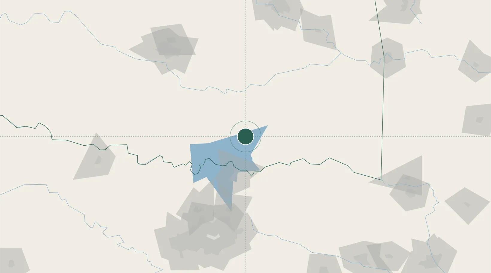
Location
Nearby Logistics Neighbours
Cities
- 1Milburn11 km
- 2Tishomingo25 km
- 3Atoka31 km
- 4Mill Creek54 km
- 5Roff55 km
Airports
Trade Zones
- 1FTZ No. 227 Durant29 km
- 2FTZ No. 106 Oklahoma City167 km
- 3FTZ No. 258 Bowie County183 km
- 4FTZ No. 164 Muskogee186 km
- 5FTZ No. 196 Fort Worth195 km
DatabookThe Record of Consolidated Knowledge
United States beyond logistics?