Transport Functions
Port
Road
Multimodal
Hub Profile
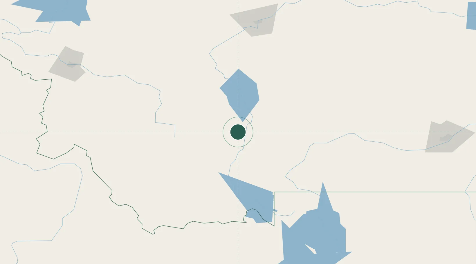
Place type
Populated place
Region
Montana
Time zone
America/Denver
Elevation
1,257 m
Location
Nearby Logistics Neighbours
Cities
- 1Belgrade35 km
- 2Gallatin Gateway43 km
- 3Clancy72 km
- 4Montana City77 km
- 5Harlowton149 km
Ports
- 1The Dalles745 km
- 2Sacramento1150 km
- 3Courtland1174 km
- 4Walnut Grove1180 km
- 5Isleton1190 km
Airports
- 1Bozeman Yellowstone International Airport35 km
- 2Bert Mooney Airport71 km
- 3Helena Regional Airport86 km
- 4Mission Field90 km
- 5Yellowstone Airport138 km
Trade Zones
- 1FTZ No. 275 Lansing75 km
- 2FTZ No. 274 Butte-Silver Bow103 km
- 3FTZ No. 088 Great Falls181 km
- 4FTZ No. 187 Toole County308 km
- 5FTZ No. 224 Spokane491 km
DatabookThe Record of Consolidated Knowledge
United States beyond logistics?