UN/LOCODE hub · United States
USBGX
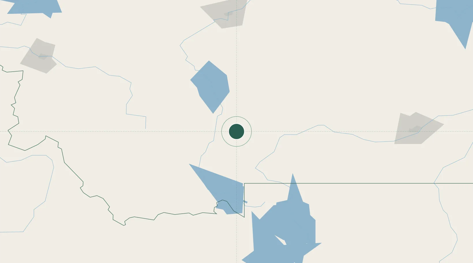
Belgrade
45.7667°, -111.1667°
8,029
Population
3
Transport functions
Transport Functions
Rail
Road
Multimodal
Hub Profile
Place type
Populated place
Region
Montana
Population
8,029
Time zone
America/Denver
Elevation
1,359 m
Location
Nearby Logistics Neighbours
Cities
- 1Gallatin Gateway19 km
- 2Three Forks Junction35 km
- 3Clancy100 km
- 4Montana City104 km
- 5Harlowton128 km
Ports
- 1The Dalles778 km
- 2Sacramento1166 km
- 3Courtland1190 km
- 4Walnut Grove1195 km
- 5Isleton1206 km
Airports
- 1Bozeman Yellowstone International Airport2 km
- 2Mission Field56 km
- 3Bert Mooney Airport105 km
- 4Helena Regional Airport113 km
- 5Yellowstone Airport120 km
Trade Zones
- 1FTZ No. 275 Lansing110 km
- 2FTZ No. 274 Butte-Silver Bow137 km
- 3FTZ No. 088 Great Falls194 km
- 4FTZ No. 187 Toole County327 km
- 5FTZ No. 224 Spokane526 km
DatabookThe Record of Consolidated Knowledge
United States beyond logistics?