UN/LOCODE hub · United States
USGG2
Gallatin Gateway
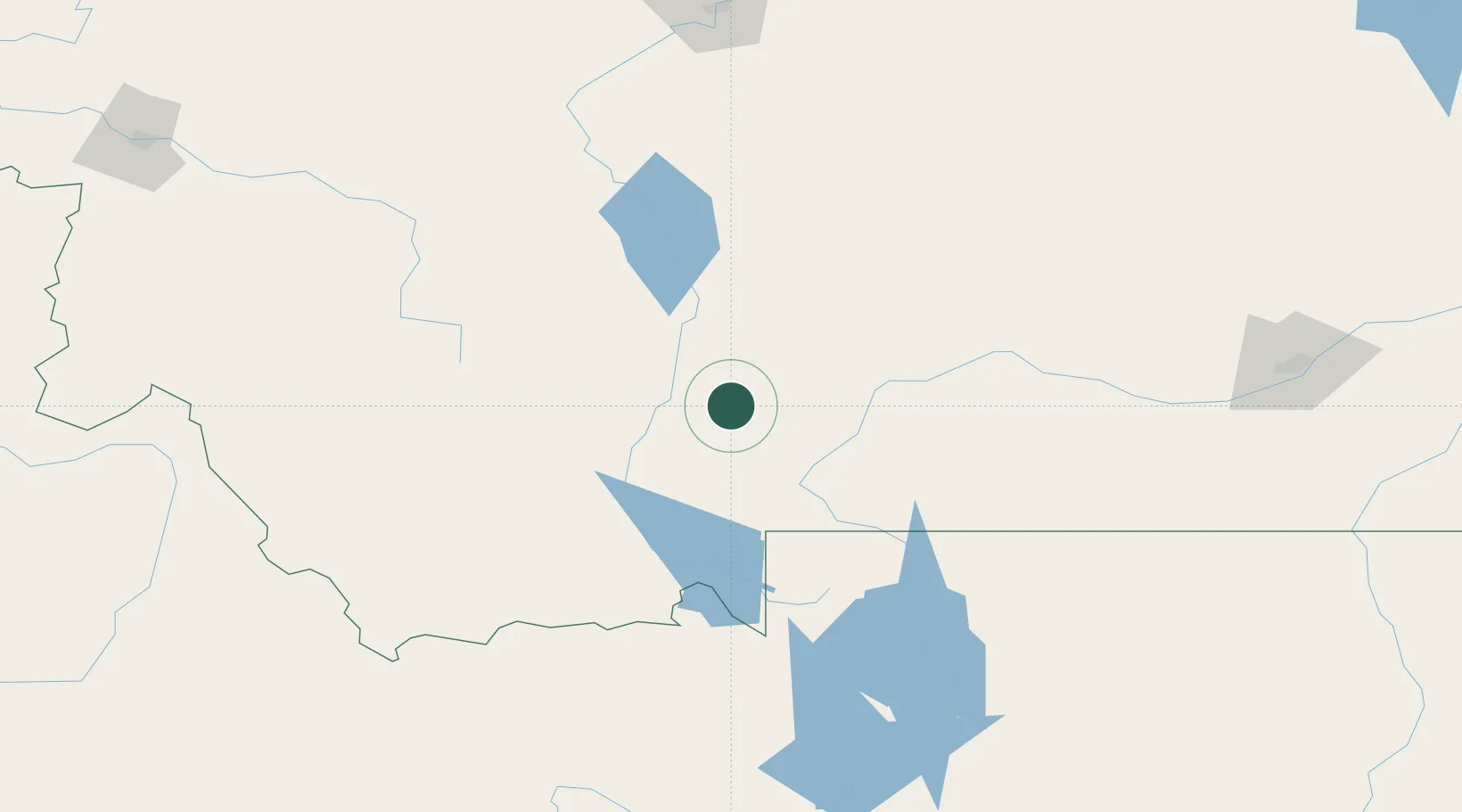
45.6000°, -111.2167°
856
Population
2
Transport functions
Transport Functions
Port
Road
Hub Profile
Place type
Populated place
Region
Montana
Population
856
Time zone
America/Denver
Elevation
1,511 m
Location
Nearby Logistics Neighbours
Cities
- 1Belgrade19 km
- 2Three Forks Junction43 km
- 3Clancy113 km
- 4Montana City118 km
- 5Harlowton143 km
Ports
- 1The Dalles775 km
- 2Sacramento1151 km
- 3Courtland1175 km
- 4Walnut Grove1180 km
- 5Isleton1191 km
Airports
- 1Bozeman Yellowstone International Airport21 km
- 2Mission Field61 km
- 3Yellowstone Airport102 km
- 4Bert Mooney Airport107 km
- 5Helena Regional Airport127 km
Trade Zones
- 1FTZ No. 275 Lansing112 km
- 2FTZ No. 274 Butte-Silver Bow136 km
- 3FTZ No. 088 Great Falls213 km
- 4FTZ No. 187 Toole County344 km
- 5FTZ No. 280 Ada and Canyon Counties519 km
DatabookThe Record of Consolidated Knowledge
United States beyond logistics?