Medium airport · United States

Biggs Army Air Field (Fort Bliss)KBIF

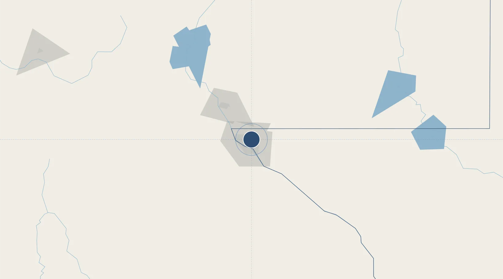
31.8495°, -106.3800°
13,554 ft
Longest runway
1
Runways
3,946 ft
Elevation

Runway & Layout

Biggs Army Air Field (Fort Bliss) runway & taxiway layout
Runway & taxiway layout — OpenStreetMap (ODbL) / OurAirports

Radio Frequencies

TWR
127.9 MHz
GND
121.6 MHz
CLD
125 MHz
EL PASO CLNC DEL
APP
119.15 MHz
EL PASO APP
DEP
121.3 MHz
EL PASO DEP
OPS
49.95 MHz
ANG OPS
PTD
122.7 MHz
OurAirports

Navaids

EWM VORTAC Newman 112.40 MHz
OurAirports

Runways · 1

RunwayDimensions SurfaceTrue headingLit
04/22 13,554 × 150ft Asphalt / concrete 044°
OurAirports

Airport Specifications

IATA code
BIF
OurAirports
ICAO code
KBIF
OurAirports
Airport class
Medium airport
OurAirports
Scheduled service
No
OurAirports
Runway surface
Asphalt / concrete
OurAirports
Served city
Fort Bliss/El Paso
OurAirports

Location

Location of KBIF
Natural Earth 10m (public domain) · Texas · KBIF · 31.85, -106.38GoogleOSMYandex

Nearby Logistics Neighbours

Airports
  1. 1El Paso International Airport4 km
  2. 2Abraham González International Airport24 km
  3. 3Las Cruces International Airport71 km
  4. 4Holloman Air Force Base114 km
  5. 5Alamogordo White Sands Regional Airport116 km
Nearest neighbours — logibook spatial index (haversine) over the source coordinates
Cities
  1. 1Fort Bliss7 km
  2. 2Socorro23 km
  3. 3Canutillo24 km
  4. 4Fabens45 km
  5. 5Tornillo54 km
Nearest neighbours — logibook spatial index (haversine) over the source coordinates
Ports
  1. 1Guaymas618 km
  2. 2Topolobampo743 km
  3. 3Isla San Marcos758 km
  4. 4Santa Rosalia760 km
  5. 5Pichilingue928 km
Nearest neighbours — logibook spatial index (haversine) over the source coordinates
Trade Zones
  1. 1FTZ No. 068 El Paso4 km
  2. 2FTZ No. 150 El Paso4 km
  3. 3FTZ No. 197 Dona Ana County113 km
  4. 4FTZ No. 110 Albuquerque362 km
  5. 5FTZ No. 139 Sierra Vista372 km
Nearest neighbours — logibook spatial index (haversine) over the source coordinates
DatabookThe Record of Consolidated Knowledge
United States beyond logistics?
Browse databook

All Sources

AirportsOurAirports
Public domain
Portsthe NGA World Port Index
Public domain (US gov)
LocationsUN/LOCODE
UN/LOCODE — free
Trade Zonesthe World Bank SEZ database
CC BY 4.0
Trade ZonesOpen Zone Map
CC BY
InfrastructureOpenStreetMap
ODbL 1.0
← United States airports