Transport Functions
Rail
Road
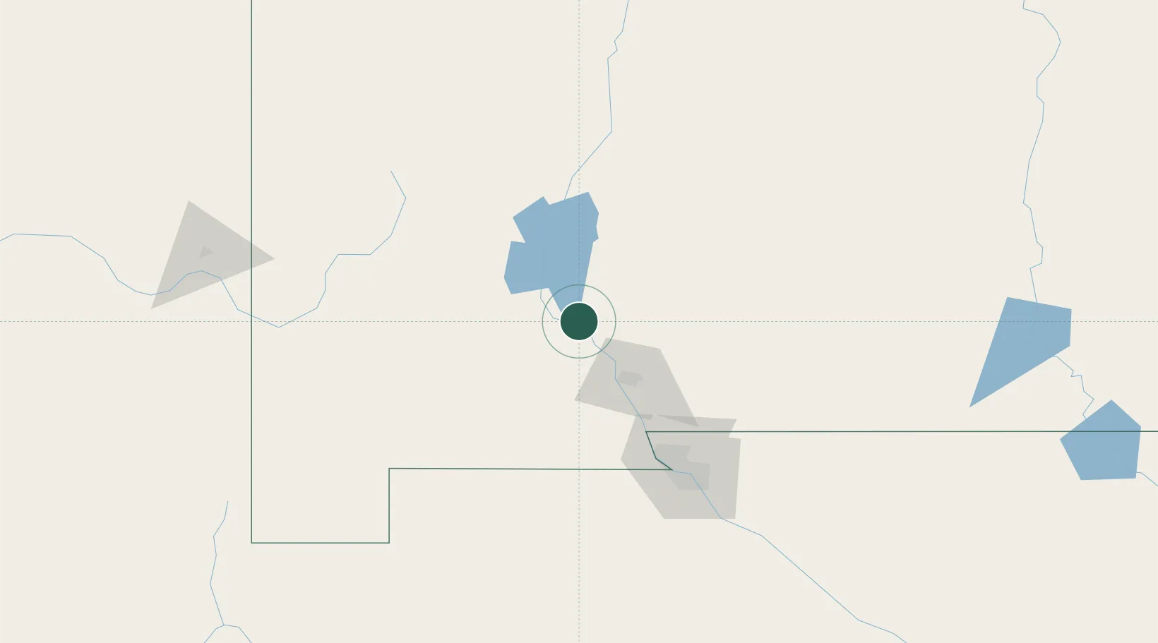
Hub Profile
Place type
Populated place
Region
New Mexico
Population
271
Time zone
America/Denver
Elevation
1,240 m
Location
Nearby Logistics Neighbours
Cities
- 1Hatch8 km
- 2Radium Springs22 km
- 3Canutillo94 km
- 4Holloman Air Force Base95 km
- 5Hurley100 km
Ports
- 1Guaymas645 km
- 2Santa Rosalia777 km
- 3Isla San Marcos779 km
- 4Topolobampo809 km
- 5Ensenada904 km
Airports
Trade Zones
- 1FTZ No. 197 Dona Ana County41 km
- 2FTZ No. 068 El Paso115 km
- 3FTZ No. 150 El Paso115 km
- 4FTZ No. 110 Albuquerque270 km
- 5FTZ No. 139 Sierra Vista328 km
DatabookThe Record of Consolidated Knowledge
United States beyond logistics?