Medium airport · United States
Las Cruces International AirportKLRU
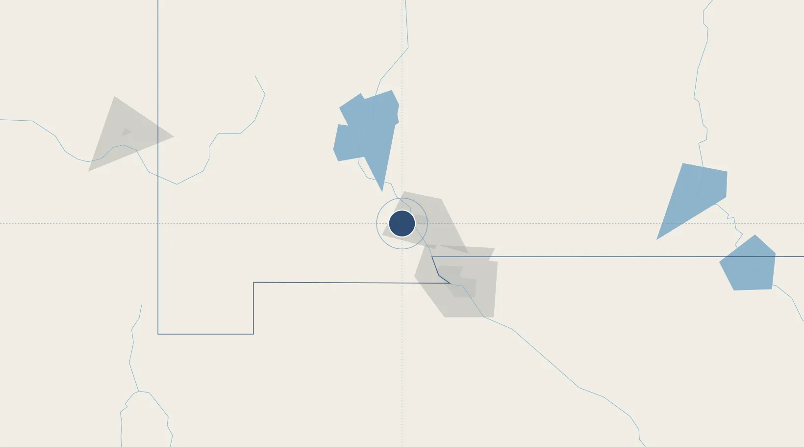
32.2894°, -106.9220°
7,506 ft
Longest runway
3
Runways
4,456 ft
Elevation
Runway & Layout

Radio Frequencies
AWOS
119.025 MHz
AWOS 3
CNTR
128.2 MHz
ALBUQUERQUE CNTR
UNIC
122.7 MHz
CTAF/UNICOM
Navaids
LR NDB Hawke 206 kHz
Runways · 3
| Runway | Dimensions | Surface | True heading | Lit |
|---|---|---|---|---|
| 12/30 | 7,506 × 100ft | Asphalt | 135° | ✓ |
| 04/22 | 7,501 × 105ft | Asphalt | 055° | ✓ |
| 08/26 | 6,069 × 100ft | Asphalt | 090° | ✓ |
Airport Specifications
IATA code
LRU
ICAO code
KLRU
Airport class
Medium airport
Scheduled service
Yes
Runway surface
Asphalt
Served city
Las Cruces
Location
Nearby Logistics Neighbours
Airports
Cities
- 1Radium Springs23 km
- 2Rincon44 km
- 3Hatch47 km
- 4Canutillo50 km
- 5Fort Bliss72 km
Ports
- 1Guaymas620 km
- 2Santa Rosalia756 km
- 3Isla San Marcos756 km
- 4Topolobampo773 km
- 5Ensenada916 km
Trade Zones
- 1FTZ No. 197 Dona Ana County45 km
- 2FTZ No. 068 El Paso74 km
- 3FTZ No. 150 El Paso74 km
- 4FTZ No. 110 Albuquerque311 km
- 5FTZ No. 139 Sierra Vista329 km
DatabookThe Record of Consolidated Knowledge
United States beyond logistics?