Transport Functions
Rail
Road
Multimodal
Hub Profile
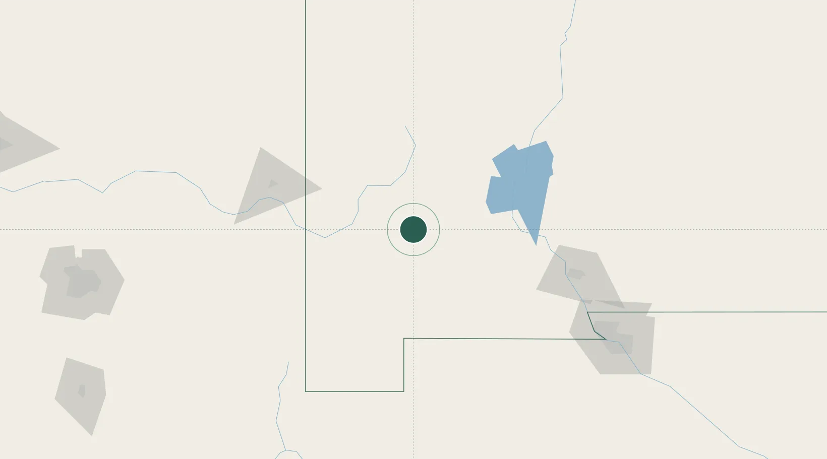
Place type
Populated place
Region
New Mexico
Population
1,256
Time zone
America/Denver
Elevation
1,744 m
Location
Nearby Logistics Neighbours
Cities
- 1Tyrone23 km
- 2Hatch92 km
- 3Rincon100 km
- 4Vanar105 km
- 5Radium Springs115 km
Ports
- 1Guaymas595 km
- 2Santa Rosalia718 km
- 3Isla San Marcos723 km
- 4Topolobampo795 km
- 5Ensenada804 km
Airports
Trade Zones
- 1FTZ No. 197 Dona Ana County77 km
- 2FTZ No. 068 El Paso193 km
- 3FTZ No. 150 El Paso193 km
- 4FTZ No. 139 Sierra Vista240 km
- 5FTZ No. 174 Pima County267 km
DatabookThe Record of Consolidated Knowledge
United States beyond logistics?