Medium airport · United States
Truth or Consequences Municipal AirportKTCS
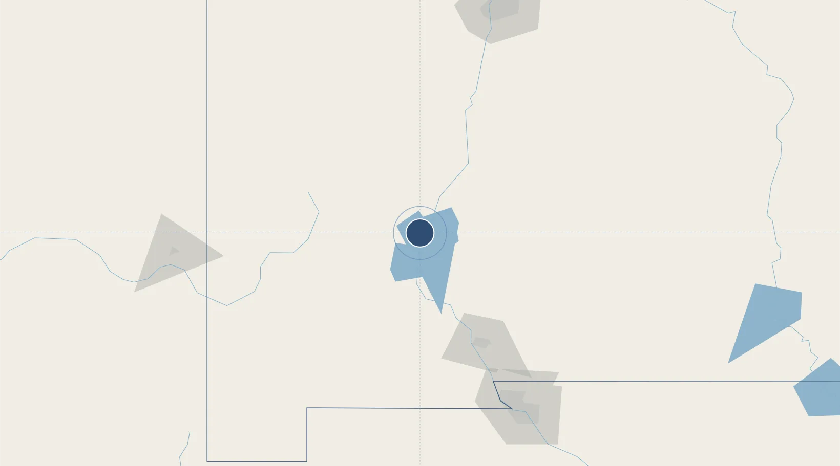
33.2369°, -107.2720°
7,202 ft
Longest runway
5
Runways
4,853 ft
Elevation
Runway & Layout

Radio Frequencies
ASOS
120.675 MHz
CNTR
128.2 MHz
ALBUQUERQUE CNTR
RDO
122.2 MHz
ALBUQUERQUE RDO
UNIC
122.8 MHz
CTAF/UNICOM
Navaids
TCS VORTAC Truth Or Consequences 112.70 MHz
Runways · 5
| Runway | Dimensions | Surface | True heading | Lit |
|---|---|---|---|---|
| 13/31 | 7,202 × 75ft | Asphalt | 144° | ✓ |
| 11/29 | 6,981 × 190ft | Gravel | 126° | — |
| 01/19 | 3,302 × 130ft | Gravel | 021° | — |
| 15/33 | 3,001 × 140ft | Gravel | 167° | — |
| 07/25 | 2,933 × 130ft | Gravel | 080° | — |
Airport Specifications
IATA code
TCS
ICAO code
KTCS
Airport class
Medium airport
Scheduled service
No
Runway surface
Asphalt
Served city
Truth or Consequences
Location
Nearby Logistics Neighbours
Airports
- 1Grant County Airport106 km
- 2Las Cruces International Airport110 km
- 3Deming Municipal Airport116 km
- 4Holloman Air Force Base117 km
- 5Alamogordo White Sands Regional Airport127 km
Cities
- 1Hatch64 km
- 2Rincon66 km
- 3Radium Springs88 km
- 4Hurley100 km
- 5Holloman Air Force Base121 km
Ports
- 1Guaymas687 km
- 2Santa Rosalia814 km
- 3Isla San Marcos817 km
- 4Topolobampo867 km
- 5Ensenada890 km
Trade Zones
- 1FTZ No. 197 Dona Ana County92 km
- 2FTZ No. 068 El Paso179 km
- 3FTZ No. 150 El Paso179 km
- 4FTZ No. 110 Albuquerque209 km
- 5FTZ No. 139 Sierra Vista340 km
DatabookThe Record of Consolidated Knowledge
United States beyond logistics?