UN/LOCODE hub · United States
USRPS
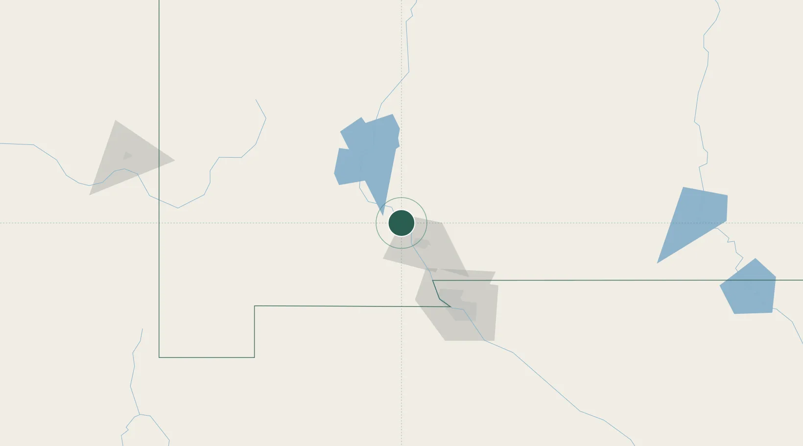
Radium Springs
32.5000°, -106.9333°
1,699
Population
3
Transport functions
Transport Functions
Rail
Road
Multimodal
Hub Profile
Place type
Populated place
Region
New Mexico
Population
1,699
Time zone
America/Denver
Elevation
1,211 m
Location
Nearby Logistics Neighbours
Cities
- 1Rincon22 km
- 2Hatch28 km
- 3Canutillo71 km
- 4Holloman Air Force Base89 km
- 5Fort Bliss92 km
Ports
- 1Guaymas637 km
- 2Santa Rosalia772 km
- 3Isla San Marcos773 km
- 4Topolobampo795 km
- 5Ensenada915 km
Airports
Trade Zones
- 1FTZ No. 197 Dona Ana County43 km
- 2FTZ No. 068 El Paso93 km
- 3FTZ No. 150 El Paso93 km
- 4FTZ No. 110 Albuquerque287 km
- 5FTZ No. 139 Sierra Vista334 km
DatabookThe Record of Consolidated Knowledge
United States beyond logistics?