UN/LOCODE hub · United States
USUTL
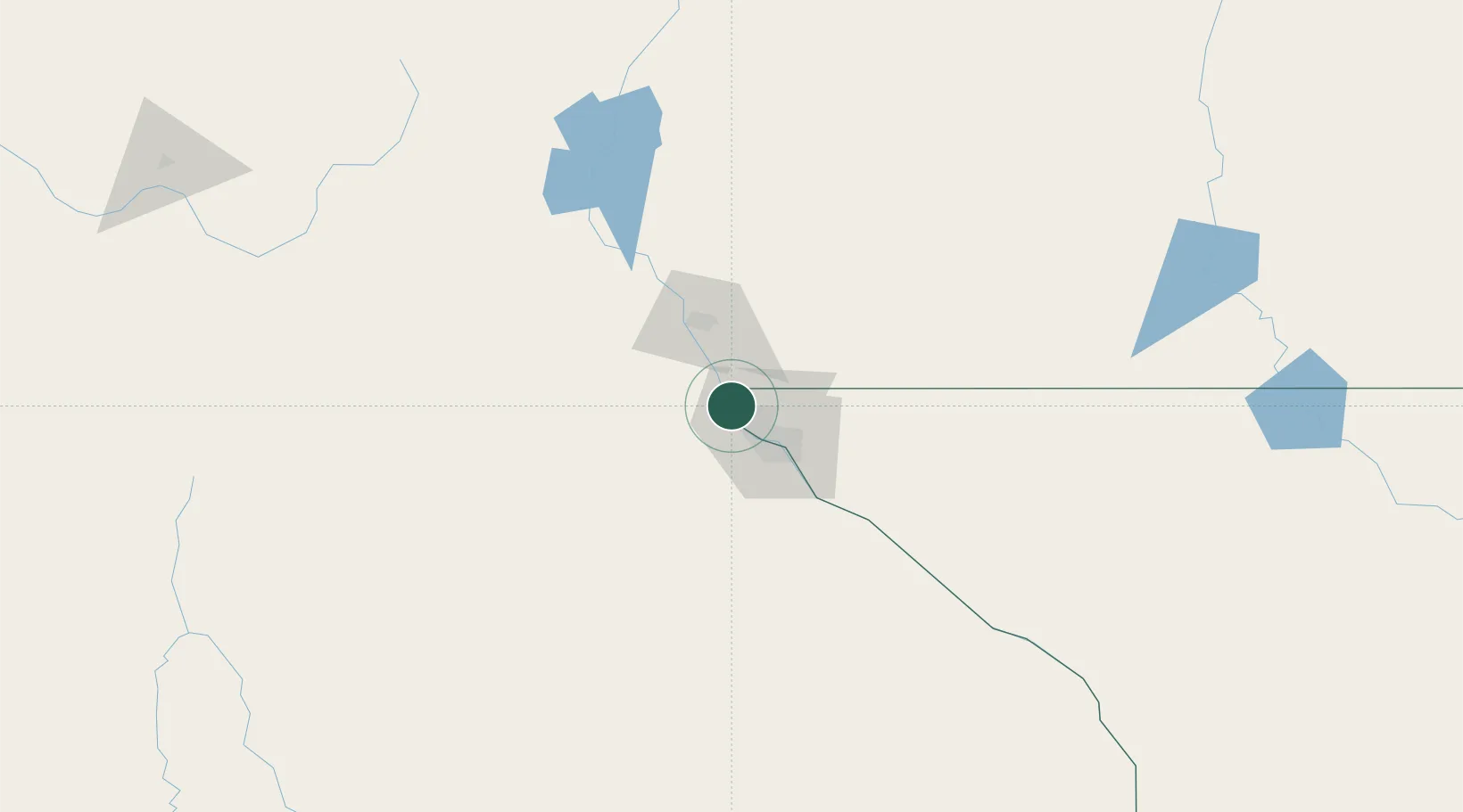
Canutillo
31.9167°, -106.6167°
6,321
Population
2
Transport functions
Transport Functions
Road
Multimodal
Hub Profile
Place type
Populated place
Region
Texas
Population
6,321
Time zone
America/Denver
Elevation
1,150 m
Location
Nearby Logistics Neighbours
Cities
- 1Fort Bliss23 km
- 2Socorro42 km
- 3Fabens64 km
- 4Radium Springs71 km
- 5Tornillo74 km
Ports
- 1Guaymas608 km
- 2Topolobampo742 km
- 3Isla San Marcos747 km
- 4Santa Rosalia748 km
- 5Pichilingue925 km
Airports
Trade Zones
- 1FTZ No. 068 El Paso26 km
- 2FTZ No. 150 El Paso26 km
- 3FTZ No. 197 Dona Ana County91 km
- 4FTZ No. 139 Sierra Vista350 km
- 5FTZ No. 110 Albuquerque353 km
DatabookThe Record of Consolidated Knowledge
United States beyond logistics?