UN/LOCODE hub · United States
USLLH

Dulles

39.0333°, -77.4167°
2
Transport functions

Transport Functions

Road
Multimodal
UN/LOCODE

Hub Profile

Region
VA
GeoNames

Location

Location of USLLH
Natural Earth 10m (public domain) · VA · USLLH · 39.03, -77.42GoogleOSMYandex

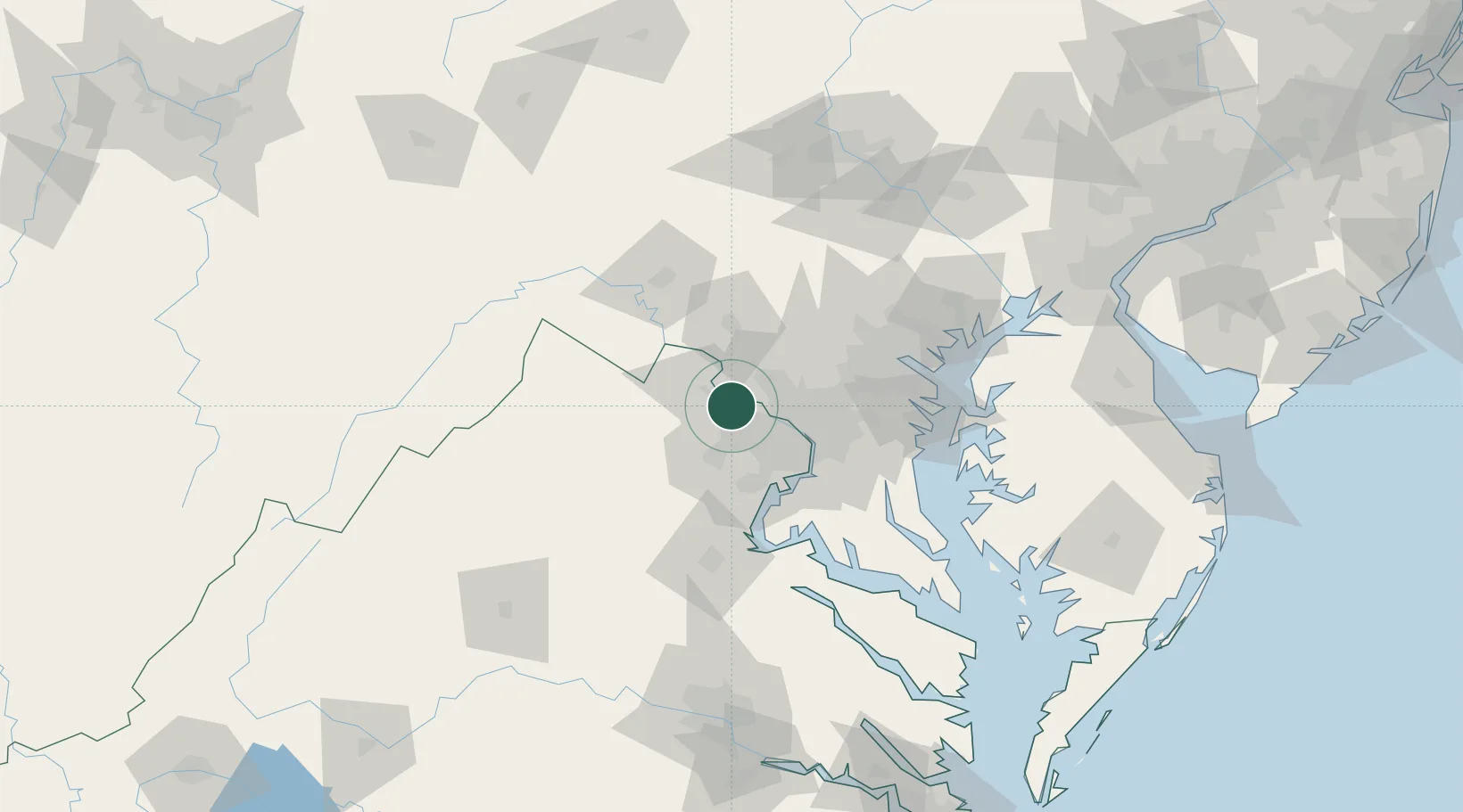
Nearby Logistics Neighbours

Cities
  1. 1Oak Grove6 km
  2. 2Great Falls13 km
  3. 3North Potomac14 km
  4. 4Germantown18 km
  5. 5Oakton20 km
Nearest neighbours — logibook spatial index (haversine) over the source coordinates
Ports
  1. 1Washington D.C.38 km
  2. 2Alexandria42 km
  3. 3Baltimore76 km
  4. 4Annapolis81 km
  5. 5Fredericksburg82 km
Nearest neighbours — logibook spatial index (haversine) over the source coordinates
Airports
  1. 1Washington Dulles International Airport10 km
  2. 2Manassas Regional Airport/Harry P. Davis Field36 km
  3. 3Ronald Reagan Washington National Airport39 km
  4. 4Davison Army Air Field41 km
  5. 5Joint Base Andrews54 km
Nearest neighbours — logibook spatial index (haversine) over the source coordinates
Trade Zones
  1. 1FTZ No. 137 Washington Dulles International Airport10 km
  2. 2FTZ No. 063 PrInce Georges County32 km
  3. 3FTZ No. 073 BWI Airport67 km
  4. 4FTZ No. 240 Martinsburg69 km
  5. 5FTZ No. 074 Baltimore75 km
Nearest neighbours — logibook spatial index (haversine) over the source coordinates
DatabookThe Record of Consolidated Knowledge
United States beyond logistics?
Browse databook

All Sources

LocationsUN/LOCODE
UN/LOCODE — free
Portsthe NGA World Port Index
Public domain (US gov)
AirportsOurAirports
Public domain
Trade Zonesthe World Bank SEZ database
CC BY 4.0
Trade ZonesOpen Zone Map
CC BY
← United States locations