UN/LOCODE hub · United States
USAKJ
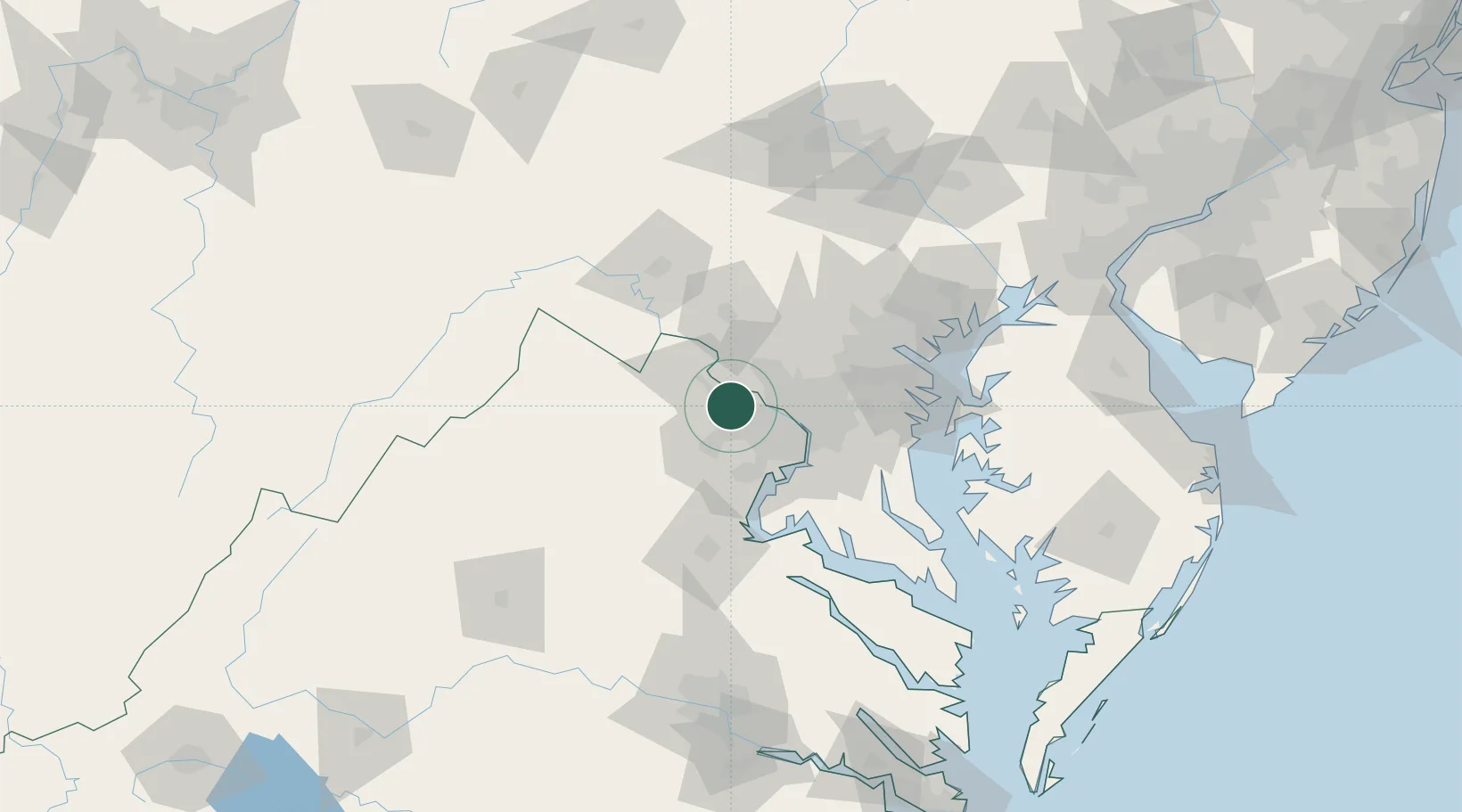
Oak Grove
38.9833°, -77.4000°
1,777
Population
2
Transport functions
Transport Functions
Port
Road
Hub Profile
Place type
Populated place
Region
Virginia
Population
1,777
Time zone
America/New_York
Elevation
119 m
Location
Nearby Logistics Neighbours
Cities
- 1Dulles6 km
- 2Great Falls10 km
- 3Oakton14 km
- 4North Potomac16 km
- 5Aldie20 km
Ports
- 1Washington D.C.34 km
- 2Alexandria38 km
- 3Fredericksburg76 km
- 4Baltimore77 km
- 5Annapolis79 km
Airports
Trade Zones
DatabookThe Record of Consolidated Knowledge
United States beyond logistics?