Transport Functions
Port
Hub Profile
Place type
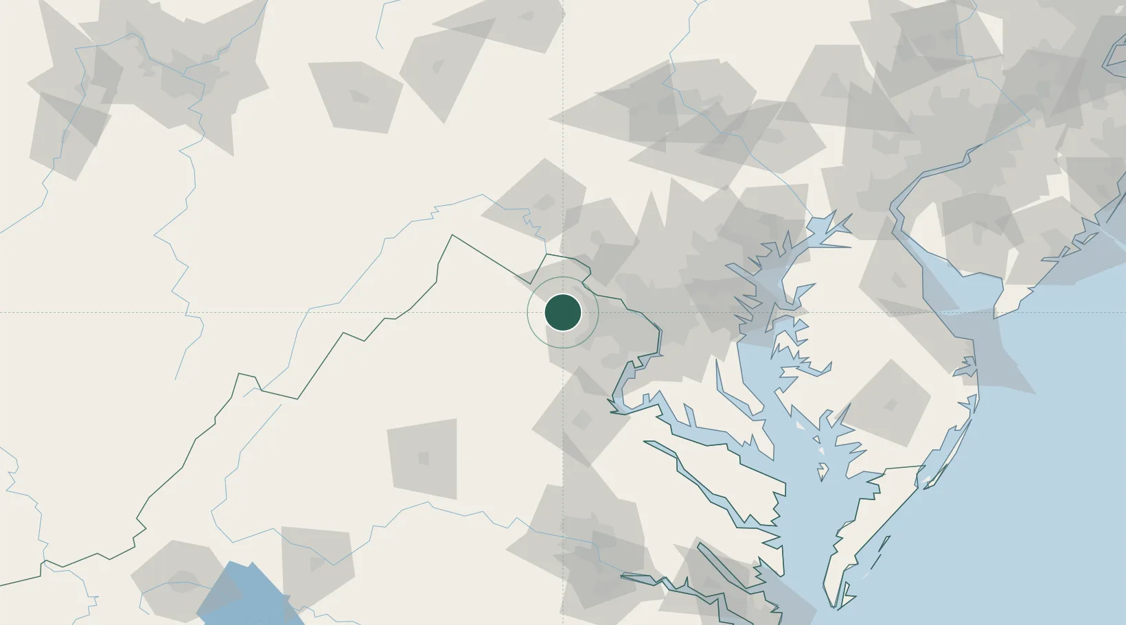
Populated place
Region
Virginia
Population
70
Time zone
America/New_York
Elevation
96 m
Location
Nearby Logistics Neighbours
Cities
- 1Middleburg9 km
- 2Hamilton19 km
- 3Purcellville19 km
- 4Dulles20 km
- 5Oak Grove20 km
Ports
- 1Washington D.C.53 km
- 2Alexandria55 km
- 3Fredericksburg76 km
- 4Baltimore97 km
- 5Annapolis99 km
Airports
Trade Zones
DatabookThe Record of Consolidated Knowledge
United States beyond logistics?