UN/LOCODE hub · United States
USZGS
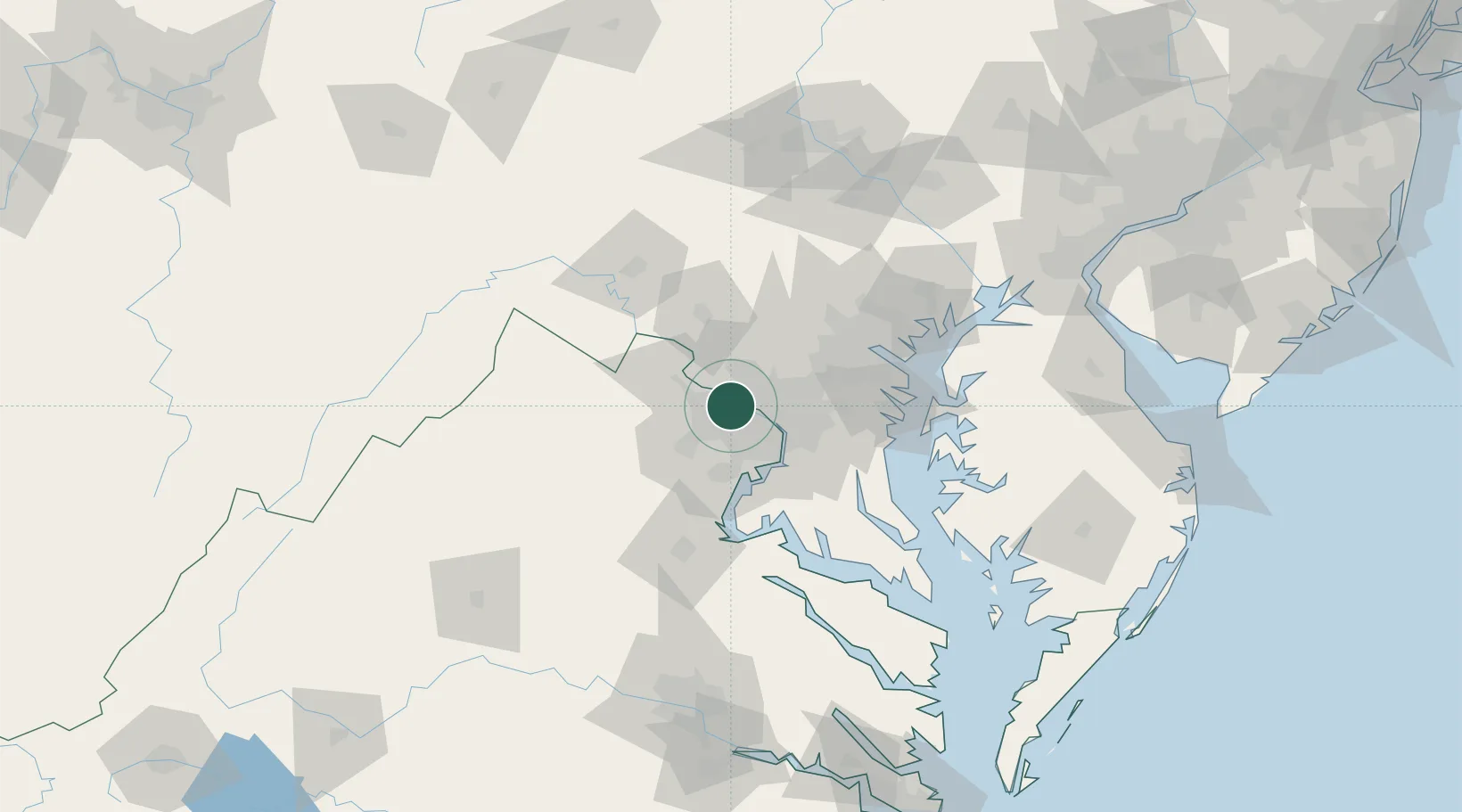
Great Falls
38.9833°, -77.2833°
15,427
Population
2
Transport functions
Transport Functions
Road
Multimodal
Hub Profile
Place type
Populated place
Region
Virginia
Population
15,427
Time zone
America/New_York
Elevation
104 m
Location
Nearby Logistics Neighbours
Cities
- 1Oak Grove10 km
- 2North Potomac11 km
- 3Oakton11 km
- 4Dulles13 km
- 5Langley13 km
Ports
- 1Washington D.C.25 km
- 2Alexandria30 km
- 3Baltimore68 km
- 4Annapolis69 km
- 5Fredericksburg77 km
Airports
Trade Zones
DatabookThe Record of Consolidated Knowledge
United States beyond logistics?