Transport Functions
Rail
Road
Multimodal
Hub Profile
Place type
Populated place
Region
Texas
Population
3,412
Time zone
America/Chicago
Elevation
269 m
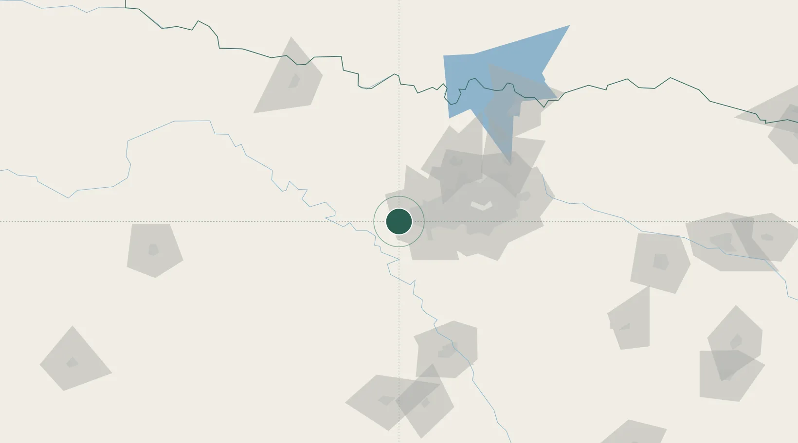
Location
Nearby Logistics Neighbours
Cities
- 1Willow Park7 km
- 2Cresson20 km
- 3Azle21 km
- 4Fairview29 km
- 5Fort Worth33 km
Airports
Trade Zones
- 1FTZ No. 168 Dallas Fort Worth9 km
- 2FTZ No. 196 Fort Worth12 km
- 3FTZ No. 039 Dallas Fort Worth46 km
- 4FTZ No. 113 Ellis County71 km
- 5FTZ No. 246 Waco132 km
DatabookThe Record of Consolidated Knowledge
United States beyond logistics?