Medium airport · United States

Mineral Wells Regional AirportKMWL

32.7816°, -98.0602°
5,996 ft
Longest runway
2
Runways
974 ft
Elevation

Runway & Layout

Mineral Wells Regional Airport runway & taxiway layout
Runway & taxiway layout — OpenStreetMap (ODbL) / OurAirports

Radio Frequencies

ASOS
135.075 MHz
CNTR
127 MHz
FORT WORTH CNTR
RDO
122.2 MHz
FORT WORTH RDO
UNIC
122.725 MHz
CTAF/UNICOM
OurAirports

Runways · 2

RunwayDimensions SurfaceTrue headingLit
13/31 5,996 × 100ft Asphalt 136°
17/35 4,188 × 100ft Asphalt 181°
OurAirports

Airport Specifications

IATA code
MWL
OurAirports
ICAO code
KMWL
OurAirports
Airport class
Medium airport
OurAirports
Scheduled service
Yes
OurAirports
Runway surface
Asphalt
OurAirports
Served city
Mineral Wells
OurAirports

Location

Location of KMWL
Natural Earth 10m (public domain) · Texas · KMWL · 32.78, -98.06GoogleOSMYandex

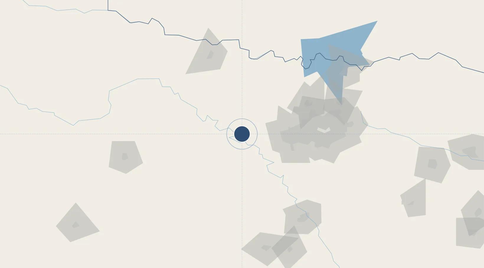
Nearby Logistics Neighbours

Airports
  1. 1NAS Fort Worth JRB / Carswell Field58 km
  2. 2Fort Worth Meacham International Airport66 km
  3. 3Perot Field/Fort Worth Alliance Airport73 km
  4. 4Dallas Fort Worth International Airport96 km
  5. 5Mid-Way Regional Airport113 km
Nearest neighbours — logibook spatial index (haversine) over the source coordinates
Cities
  1. 1Millsap8 km
  2. 2Palo Pinto21 km
  3. 3Willow Park39 km
  4. 4Fairview40 km
  5. 5Aledo44 km
Nearest neighbours — logibook spatial index (haversine) over the source coordinates
Ports
  1. 1Deer Park425 km
  2. 2Houston428 km
  3. 3Pasadena435 km
  4. 4Baytown446 km
  5. 5Beaumont482 km
Nearest neighbours — logibook spatial index (haversine) over the source coordinates
Trade Zones
  1. 1FTZ No. 039 Dallas Fort Worth5 km
  2. 2FTZ No. 196 Fort Worth46 km
  3. 3FTZ No. 168 Dallas Fort Worth50 km
  4. 4FTZ No. 113 Ellis County112 km
  5. 5FTZ No. 246 Waco156 km
Nearest neighbours — logibook spatial index (haversine) over the source coordinates
DatabookThe Record of Consolidated Knowledge
United States beyond logistics?
Browse databook

All Sources

AirportsOurAirports
Public domain
Portsthe NGA World Port Index
Public domain (US gov)
LocationsUN/LOCODE
UN/LOCODE — free
Trade Zonesthe World Bank SEZ database
CC BY 4.0
Trade ZonesOpen Zone Map
CC BY
InfrastructureOpenStreetMap
ODbL 1.0
← United States airports