UN/LOCODE hub · United States
USTX3

Fairview

32.5000°, -97.8000°
2
Transport functions

Transport Functions

Port
Multimodal
UN/LOCODE

Hub Profile

Place type
Populated place
GeoNames
Region
Texas
GeoNames
Time zone
America/Chicago
GeoNames
Elevation
245 m
GeoNames

Location

Location of USTX3
Natural Earth 10m (public domain) · Texas · USTX3 · 32.50, -97.80GoogleOSMYandex

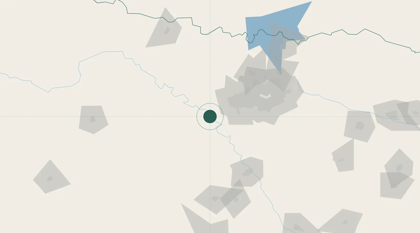
Nearby Logistics Neighbours

Cities
  1. 1Cresson17 km
  2. 2Aledo29 km
  3. 3Willow Park31 km
  4. 4Millsap32 km
  5. 5Joshua40 km
Nearest neighbours — logibook spatial index (haversine) over the source coordinates
Ports
  1. 1Deer Park386 km
  2. 2Houston388 km
  3. 3Pasadena395 km
  4. 4Baytown406 km
  5. 5Texas City442 km
Nearest neighbours — logibook spatial index (haversine) over the source coordinates
Airports
  1. 1Mineral Wells Regional Airport40 km
  2. 2NAS Fort Worth JRB / Carswell Field45 km
  3. 3Fort Worth Meacham International Airport54 km
  4. 4Perot Field/Fort Worth Alliance Airport71 km
  5. 5Mid-Way Regional Airport83 km
Nearest neighbours — logibook spatial index (haversine) over the source coordinates
Trade Zones
  1. 1FTZ No. 168 Dallas Fort Worth37 km
  2. 2FTZ No. 039 Dallas Fort Worth38 km
  3. 3FTZ No. 196 Fort Worth40 km
  4. 4FTZ No. 113 Ellis County77 km
  5. 5FTZ No. 246 Waco117 km
Nearest neighbours — logibook spatial index (haversine) over the source coordinates
DatabookThe Record of Consolidated Knowledge
United States beyond logistics?
Browse databook

All Sources

LocationsUN/LOCODE
UN/LOCODE — free
Portsthe NGA World Port Index
Public domain (US gov)
AirportsOurAirports
Public domain
Trade Zonesthe World Bank SEZ database
CC BY 4.0
Trade ZonesOpen Zone Map
CC BY
← United States locations