Medium airport · United States
Perot Field/Fort Worth Alliance AirportKAFW
32.9904°, -97.3195°
11,125 ft
Longest runway
2
Runways
722 ft
Elevation
Runway & Layout

Radio Frequencies
ATIS
126.925 MHz
ASOS
126.925 MHz
TWR
120.825 MHz
ALLIANCE TWR
GND
132.65 MHz
CLD
128.725 MHz
CLNC DEL
A/D
118.1 MHz
RGNL APP/DEP
Navaids
FUZ VORTAC Ranger 115.70 MHz
Runways · 2
| Runway | Dimensions | Surface | True heading | Lit |
|---|---|---|---|---|
| 16R/34L | 11,125 × 150ft | CONC-GRVD | 170° | ✓ |
| 16L/34R | 11,000 × 150ft | CONC-GRVD | 170° | ✓ |
Airport Specifications
IATA code
AFW
ICAO code
KAFW
Airport class
Medium airport
Scheduled service
No
Runway surface
CONC-GRVD
Served city
Fort Worth
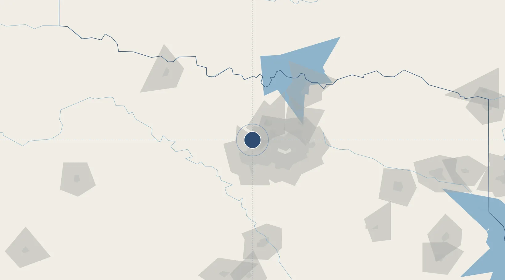
Location
Nearby Logistics Neighbours
Airports
Cities
- 1Haslet6 km
- 2Westlake11 km
- 3Justin14 km
- 4Newark15 km
- 5Colleyville20 km
Trade Zones
- 1FTZ No. 196 Fort Worth32 km
- 2FTZ No. 168 Dallas Fort Worth34 km
- 3FTZ No. 039 Dallas Fort Worth77 km
- 4FTZ No. 113 Ellis County82 km
- 5FTZ No. 227 Durant142 km
DatabookThe Record of Consolidated Knowledge
United States beyond logistics?