Medium airport · United States

Fort Worth Meacham International AirportKFTW
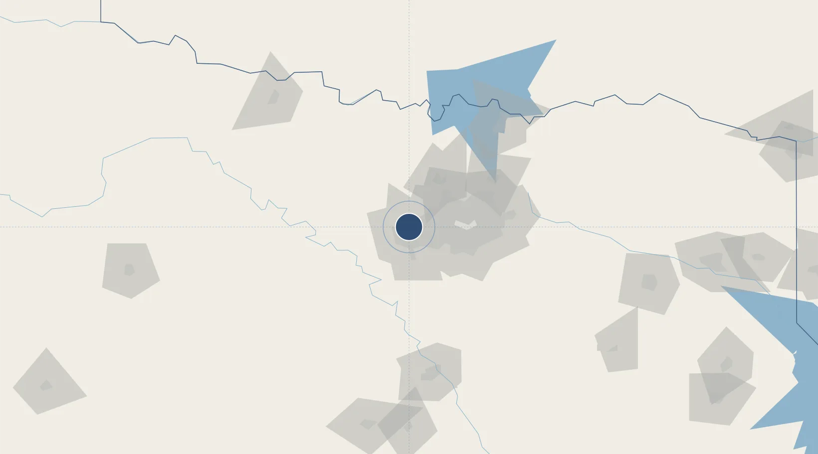
32.8199°, -97.3608°
7,502 ft
Longest runway
2
Runways
710 ft
Elevation

Runway & Layout

Fort Worth Meacham International Airport runway & taxiway layout
Runway & taxiway layout — OpenStreetMap (ODbL) / OurAirports

Radio Frequencies

ATIS
120.7 MHz
TWR
118.3 MHz
GND
121.9 MHz
CLD
124.65 MHz
CLNC DEL
A/D
118.1 MHz
RGNL APP DEP
RDO
122.6 MHz
FORT WORTH RDO
UNIC
122.95 MHz
UNICOM
OurAirports

Navaids

FT NDB Mufin 365 kHz
OurAirports

Runways · 2

RunwayDimensions SurfaceTrue headingLit
16/34 7,502 × 150ft Concrete 172°
17/35 4,005 × 75ft Asphalt 172°
OurAirports

Airport Specifications

IATA code
FTW
OurAirports
ICAO code
KFTW
OurAirports
Airport class
Medium airport
OurAirports
Scheduled service
Yes
OurAirports
Runway surface
Concrete
OurAirports
Served city
Fort Worth
OurAirports

Location

Location of KFTW
Natural Earth 10m (public domain) · Texas · KFTW · 32.82, -97.36GoogleOSMYandex

Nearby Logistics Neighbours

Airports
  1. 1NAS Fort Worth JRB / Carswell Field9 km
  2. 2Perot Field/Fort Worth Alliance Airport19 km
  3. 3Dallas Fort Worth International Airport31 km
  4. 4Dallas Love Field48 km
  5. 5Mid-Way Regional Airport58 km
Nearest neighbours — logibook spatial index (haversine) over the source coordinates
Cities
  1. 1Fort Worth8 km
  2. 2Haslet16 km
  3. 3Azle18 km
  4. 4Colleyville21 km
  5. 5Newark23 km
Nearest neighbours — logibook spatial index (haversine) over the source coordinates
Ports
  1. 1Deer Park392 km
  2. 2Houston394 km
  3. 3Pasadena401 km
  4. 4Baytown409 km
  5. 5Beaumont435 km
Nearest neighbours — logibook spatial index (haversine) over the source coordinates
Trade Zones
  1. 1FTZ No. 168 Dallas Fort Worth18 km
  2. 2FTZ No. 196 Fort Worth20 km
  3. 3FTZ No. 113 Ellis County66 km
  4. 4FTZ No. 039 Dallas Fort Worth68 km
  5. 5FTZ No. 246 Waco141 km
Nearest neighbours — logibook spatial index (haversine) over the source coordinates
DatabookThe Record of Consolidated Knowledge
United States beyond logistics?
Browse databook

All Sources

AirportsOurAirports
Public domain
Portsthe NGA World Port Index
Public domain (US gov)
LocationsUN/LOCODE
UN/LOCODE — free
Trade Zonesthe World Bank SEZ database
CC BY 4.0
Trade ZonesOpen Zone Map
CC BY
InfrastructureOpenStreetMap
ODbL 1.0
← United States airports