UN/LOCODE hub · United States
USMZ8

Millsap

32.7333°, -98.0000°
427
Population
1
Transport functions

Transport Functions

Multimodal
UN/LOCODE

Hub Profile

Place type
Populated place
GeoNames
Region
Texas
GeoNames
Population
427
GeoNames
Time zone
America/Chicago
GeoNames
Elevation
249 m
GeoNames

Location

Location of USMZ8
Natural Earth 10m (public domain) · Texas · USMZ8 · 32.73, -98.00GoogleOSMYandex

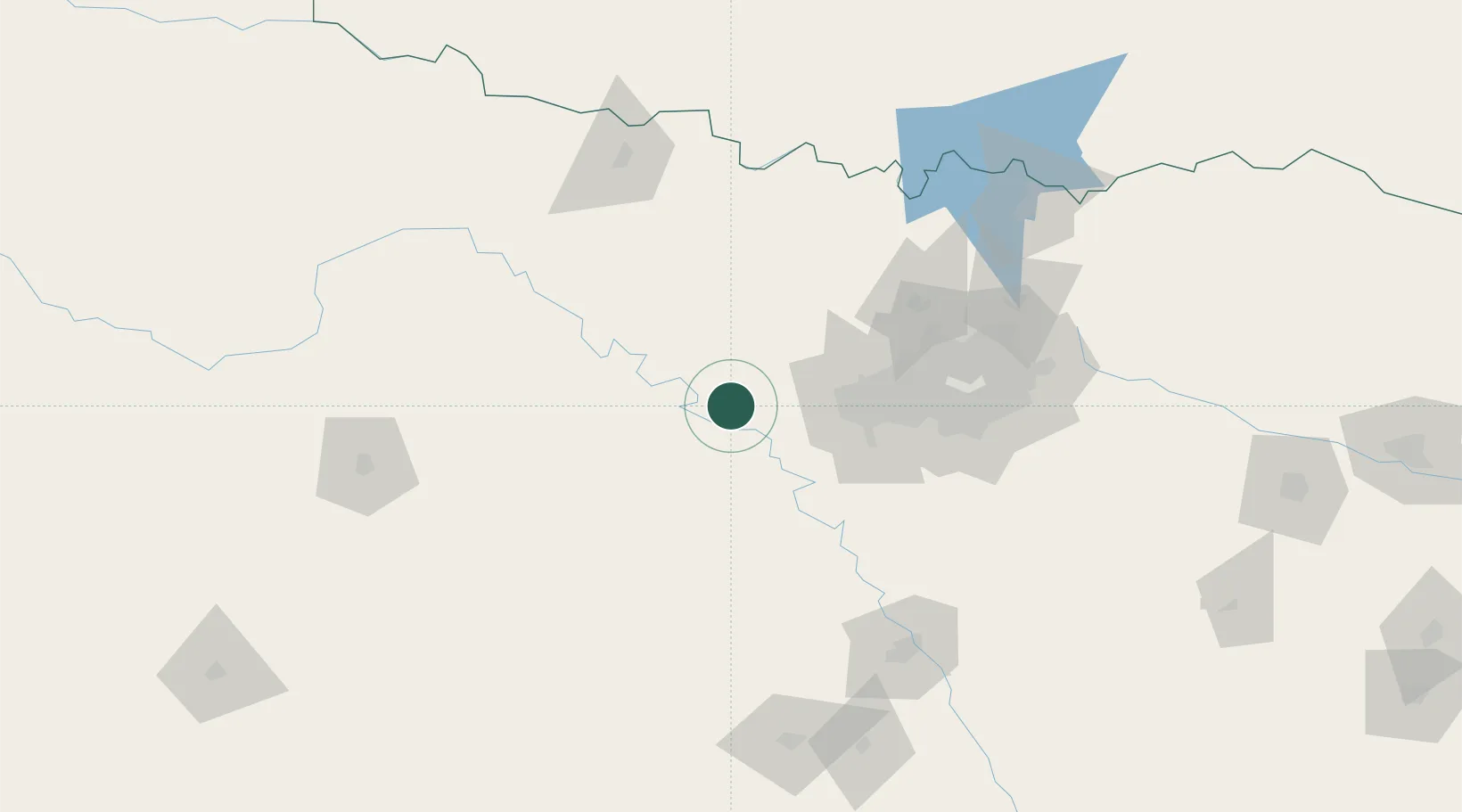
Nearby Logistics Neighbours

Cities
  1. 1Palo Pinto27 km
  2. 2Fairview32 km
  3. 3Willow Park33 km
  4. 4Aledo38 km
  5. 5Cresson43 km
Nearest neighbours — logibook spatial index (haversine) over the source coordinates
Ports
  1. 1Deer Park418 km
  2. 2Houston420 km
  3. 3Pasadena427 km
  4. 4Baytown438 km
  5. 5Beaumont474 km
Nearest neighbours — logibook spatial index (haversine) over the source coordinates
Airports
  1. 1Mineral Wells Regional Airport8 km
  2. 2NAS Fort Worth JRB / Carswell Field52 km
  3. 3Fort Worth Meacham International Airport61 km
  4. 4Perot Field/Fort Worth Alliance Airport70 km
  5. 5Dallas Fort Worth International Airport92 km
Nearest neighbours — logibook spatial index (haversine) over the source coordinates
Trade Zones
  1. 1FTZ No. 039 Dallas Fort Worth8 km
  2. 2FTZ No. 196 Fort Worth41 km
  3. 3FTZ No. 168 Dallas Fort Worth45 km
  4. 4FTZ No. 113 Ellis County104 km
  5. 5FTZ No. 246 Waco149 km
Nearest neighbours — logibook spatial index (haversine) over the source coordinates
DatabookThe Record of Consolidated Knowledge
United States beyond logistics?
Browse databook

All Sources

LocationsUN/LOCODE
UN/LOCODE — free
LocationsGeoNames
CC BY 4.0
Portsthe NGA World Port Index
Public domain (US gov)
AirportsOurAirports
Public domain
Trade Zonesthe World Bank SEZ database
CC BY 4.0
Trade ZonesOpen Zone Map
CC BY
← United States locations