UN/LOCODE hub · United States
USPGZ
Palo Pinto
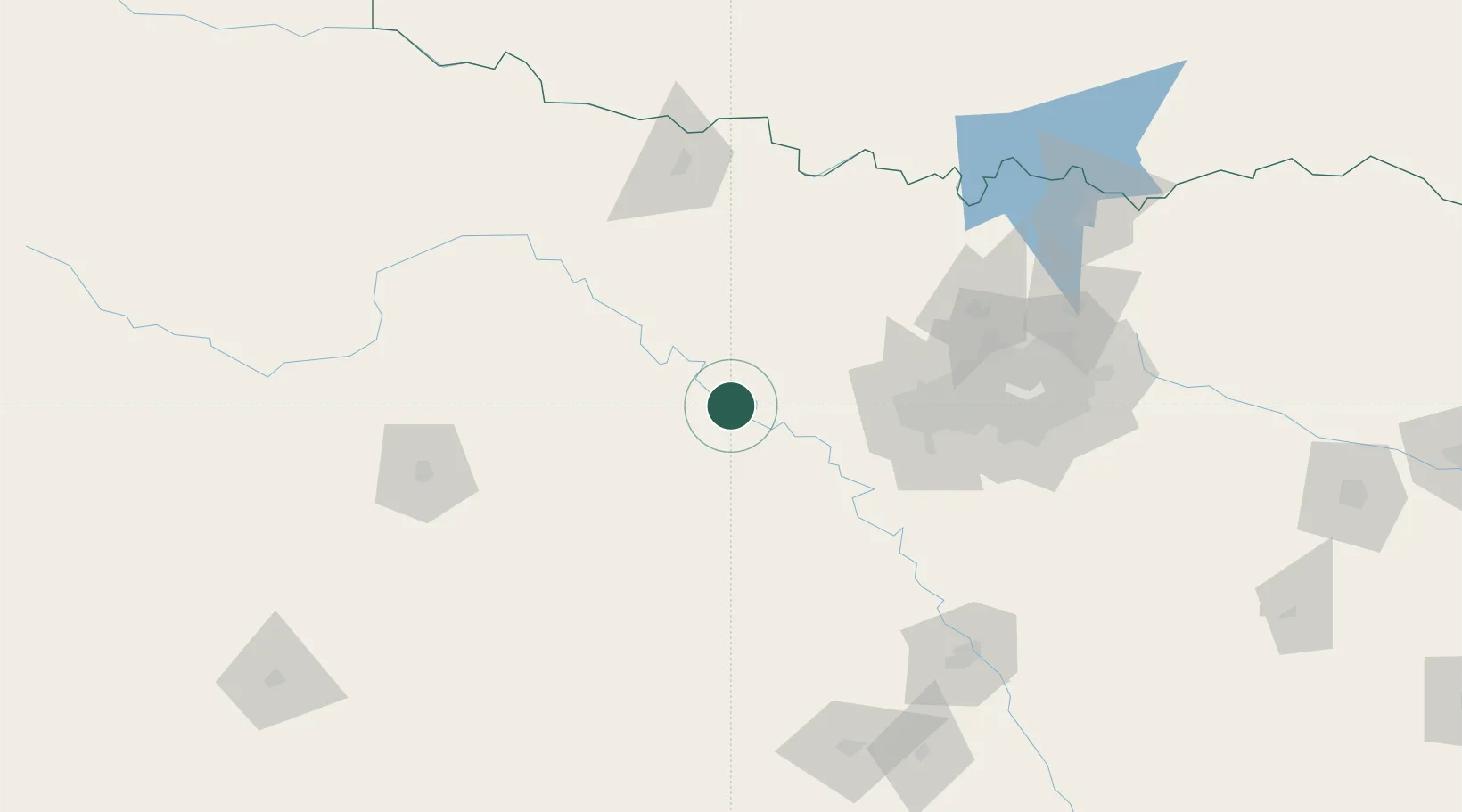
32.7667°, -98.2833°
333
Population
1
Transport functions
Transport Functions
Port
Hub Profile
Place type
Provincial seat
Region
Texas
Population
333
Time zone
America/Chicago
Elevation
318 m
Location
Nearby Logistics Neighbours
Cities
- 1Millsap27 km
- 2Jacksboro51 km
- 3Fairview54 km
- 4Willow Park59 km
- 5Aledo64 km
Ports
- 1Deer Park437 km
- 2Houston440 km
- 3Pasadena447 km
- 4Baytown458 km
- 5Port Lavaca488 km
Airports
Trade Zones
- 1FTZ No. 039 Dallas Fort Worth19 km
- 2FTZ No. 196 Fort Worth67 km
- 3FTZ No. 168 Dallas Fort Worth71 km
- 4FTZ No. 113 Ellis County130 km
- 5FTZ No. 246 Waco166 km
DatabookThe Record of Consolidated Knowledge
United States beyond logistics?