Medium airport · United States

NAS Fort Worth JRB / Carswell FieldKNFW
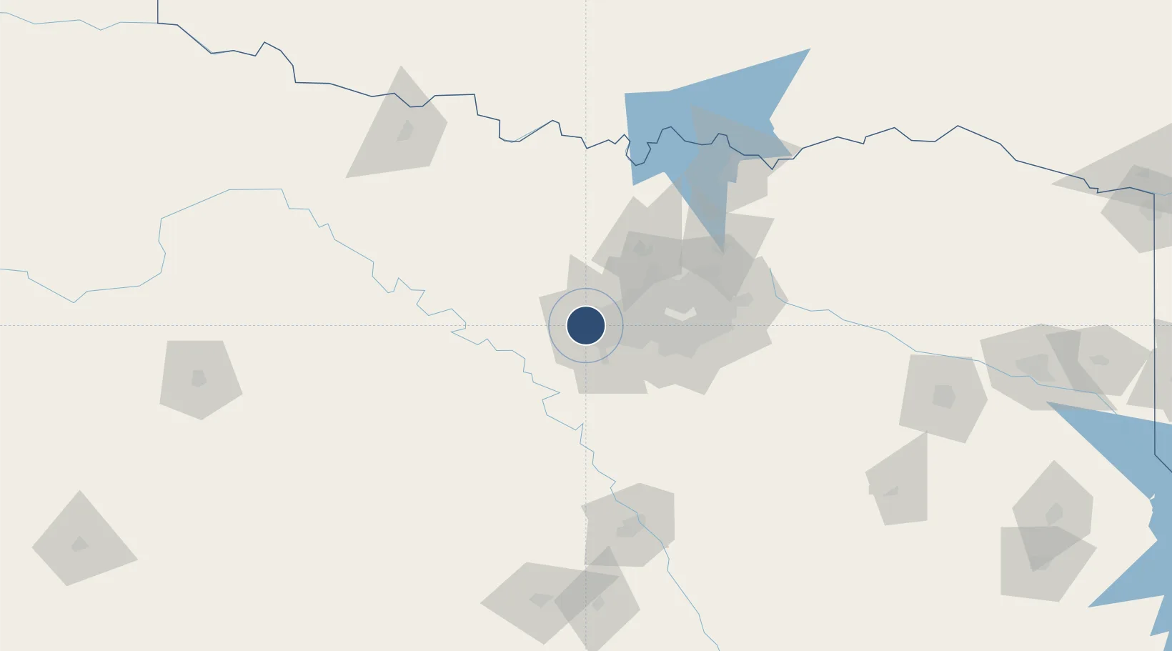
32.7692°, -97.4415°
11,999 ft
Longest runway
1
Runways
650 ft
Elevation

Runway & Layout

NAS Fort Worth JRB / Carswell Field runway & taxiway layout
Runway & taxiway layout — OpenStreetMap (ODbL) / OurAirports

Radio Frequencies

ATIS
27.357 MHz
TWR
120.95 MHz
NAVY FORT WORTH TWR
GND
126.4 MHz
NAVY FORT WORTH GND
A/D
125.8 MHz
RGNL APP/DEP
ARR
128.775 MHz
NAVY FORT WORTH ARR
MISC
28.41 MHz
LOCKHEED
OPS
29.177 MHz
BASE OPS
PMSV
34.255 MHz
PMSV METRO
OurAirports

Runways · 1

RunwayDimensions SurfaceTrue headingLit
18/36 11,999 × 200ft Concrete 181°
OurAirports

Airport Specifications

IATA code
FWH
OurAirports
ICAO code
KNFW
OurAirports
Airport class
Medium airport
OurAirports
Scheduled service
No
OurAirports
Runway surface
Concrete
OurAirports
Served city
Fort Worth
OurAirports

Location

Location of KNFW
Natural Earth 10m (public domain) · Texas · KNFW · 32.77, -97.44GoogleOSMYandex

Nearby Logistics Neighbours

Airports
  1. 1Fort Worth Meacham International Airport9 km
  2. 2Perot Field/Fort Worth Alliance Airport27 km
  3. 3Dallas Fort Worth International Airport40 km
  4. 4Dallas Love Field56 km
  5. 5Mineral Wells Regional Airport58 km
Nearest neighbours — logibook spatial index (haversine) over the source coordinates
Cities
  1. 1Azle15 km
  2. 2Fort Worth16 km
  3. 3Aledo17 km
  4. 4Willow Park20 km
  5. 5Haslet22 km
Nearest neighbours — logibook spatial index (haversine) over the source coordinates
Ports
  1. 1Deer Park391 km
  2. 2Houston393 km
  3. 3Pasadena400 km
  4. 4Baytown409 km
  5. 5Beaumont437 km
Nearest neighbours — logibook spatial index (haversine) over the source coordinates
Trade Zones
  1. 1FTZ No. 168 Dallas Fort Worth8 km
  2. 2FTZ No. 196 Fort Worth13 km
  3. 3FTZ No. 039 Dallas Fort Worth60 km
  4. 4FTZ No. 113 Ellis County66 km
  5. 5FTZ No. 246 Waco136 km
Nearest neighbours — logibook spatial index (haversine) over the source coordinates
DatabookThe Record of Consolidated Knowledge
United States beyond logistics?
Browse databook

All Sources

AirportsOurAirports
Public domain
Portsthe NGA World Port Index
Public domain (US gov)
LocationsUN/LOCODE
UN/LOCODE — free
Trade Zonesthe World Bank SEZ database
CC BY 4.0
Trade ZonesOpen Zone Map
CC BY
InfrastructureOpenStreetMap
ODbL 1.0
← United States airports