UN/LOCODE hub · United States
USCSK
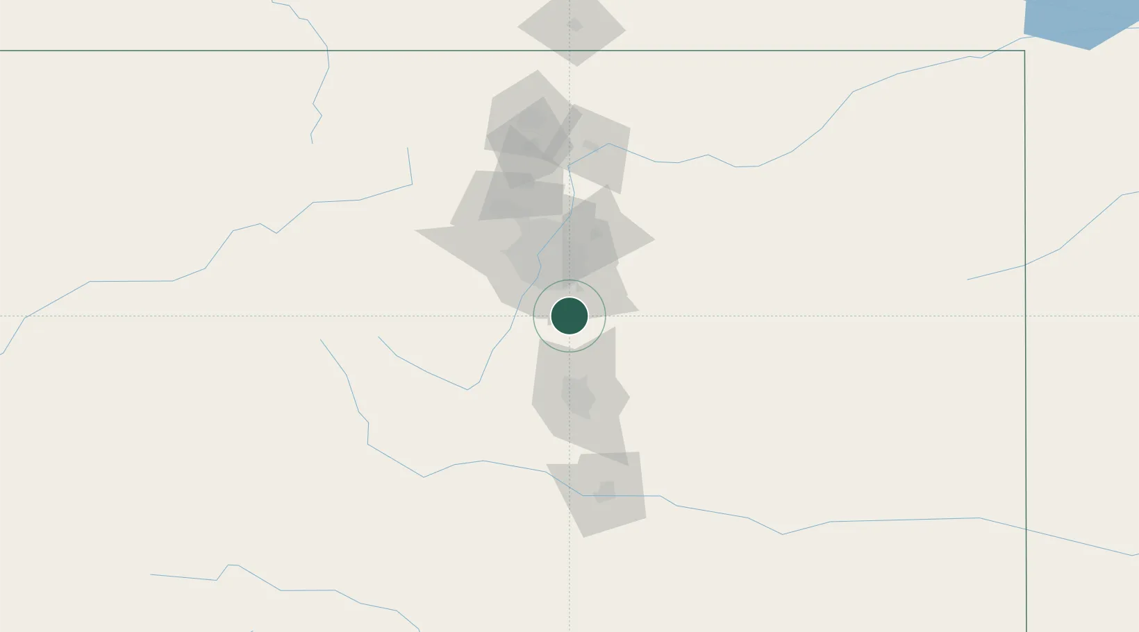
Castle Rock
39.3667°, -104.8500°
55,591
Population
2
Transport functions
Transport Functions
Rail
Road
Hub Profile
Place type
Provincial seat
Region
Colorado
Population
55,591
Time zone
America/Denver
Elevation
1,897 m
Location
Nearby Logistics Neighbours
Cities
- 1Castle Pines10 km
- 2Sedalia11 km
- 3Lone Tree19 km
- 4Parker19 km
- 5Gateway19 km
Ports
- 1Duluth1320 km
- 2Superior1320 km
- 3Newport Beach1328 km
- 4San Diego1331 km
- 5Rosarito1349 km
Airports
Trade Zones
- 1FTZ No. 123 Denver43 km
- 2FTZ No. 298 Jefferson County49 km
- 3FTZ No. 112 Colorado Springs59 km
- 4FTZ No. 293 Limon101 km
- 5FTZ No. 110 Albuquerque507 km
DatabookThe Record of Consolidated Knowledge
United States beyond logistics?