Transport Functions
Port
Hub Profile
Place type
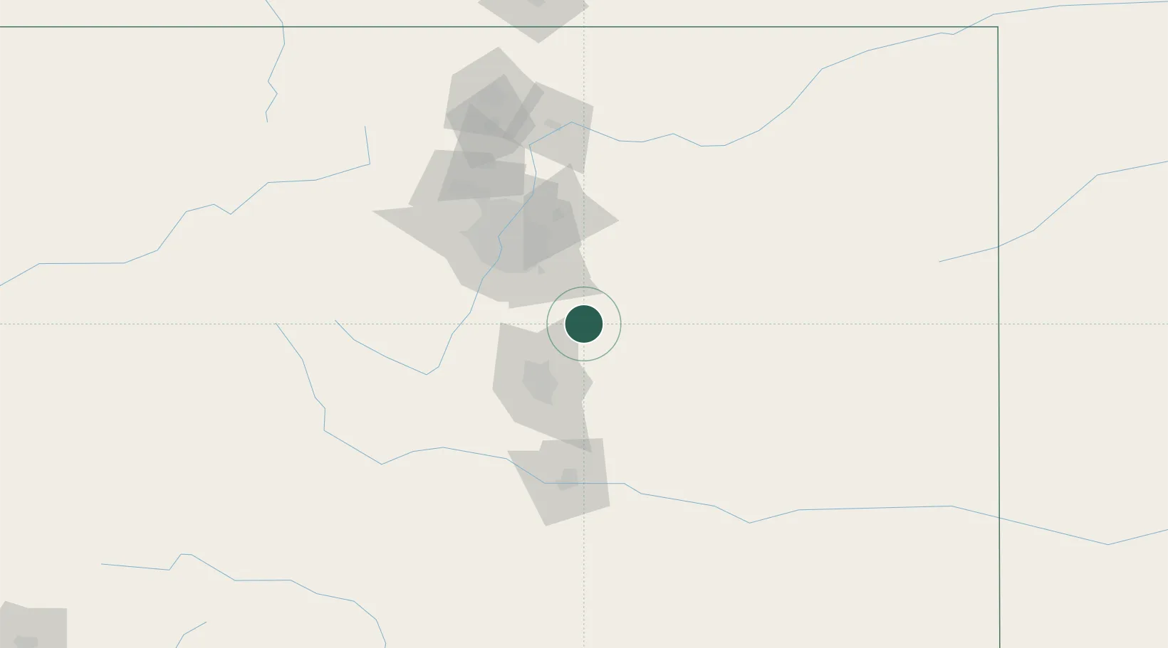
Populated place
Region
Colorado
Population
230
Time zone
America/Denver
Elevation
2,049 m
Location
Nearby Logistics Neighbours
Cities
- 1Peyton23 km
- 2Calhan29 km
- 3Castle Rock32 km
- 4Parker38 km
- 5Castle Pines40 km
Ports
- 1Superior1312 km
- 2Duluth1312 km
- 3Newport Beach1347 km
- 4San Diego1347 km
- 5Deer Park1347 km
Airports
Trade Zones
- 1FTZ No. 112 Colorado Springs49 km
- 2FTZ No. 123 Denver70 km
- 3FTZ No. 293 Limon73 km
- 4FTZ No. 298 Jefferson County79 km
- 5FTZ No. 110 Albuquerque502 km
DatabookThe Record of Consolidated Knowledge
United States beyond logistics?