Transport Functions
Rail
Road
Hub Profile
Place type
Populated place
Region
Colorado
Population
789
Time zone
America/Denver
Elevation
1,992 m
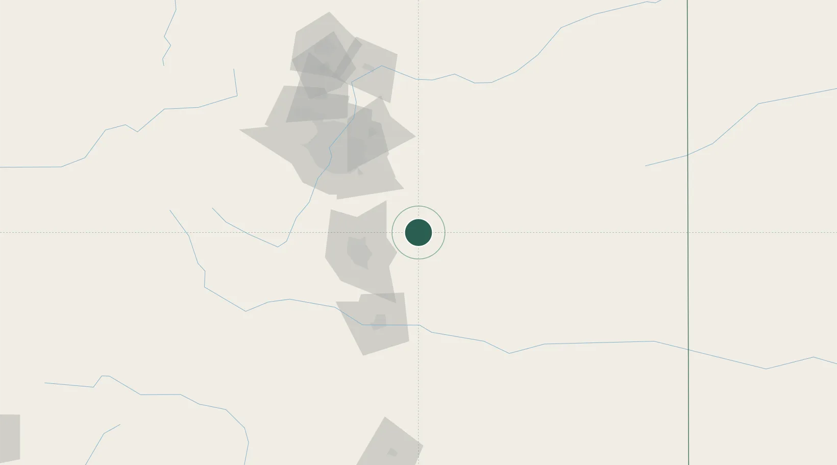
Location
Nearby Logistics Neighbours
Cities
- 1Peyton16 km
- 2Elbert29 km
- 3Security48 km
- 4Fountain53 km
- 5Manitou Springs57 km
Airports
Trade Zones
- 1FTZ No. 112 Colorado Springs50 km
- 2FTZ No. 293 Limon59 km
- 3FTZ No. 123 Denver99 km
- 4FTZ No. 298 Jefferson County108 km
- 5FTZ No. 252 Amarillo477 km
DatabookThe Record of Consolidated Knowledge
United States beyond logistics?