UN/LOCODE hub · United States
USZKR
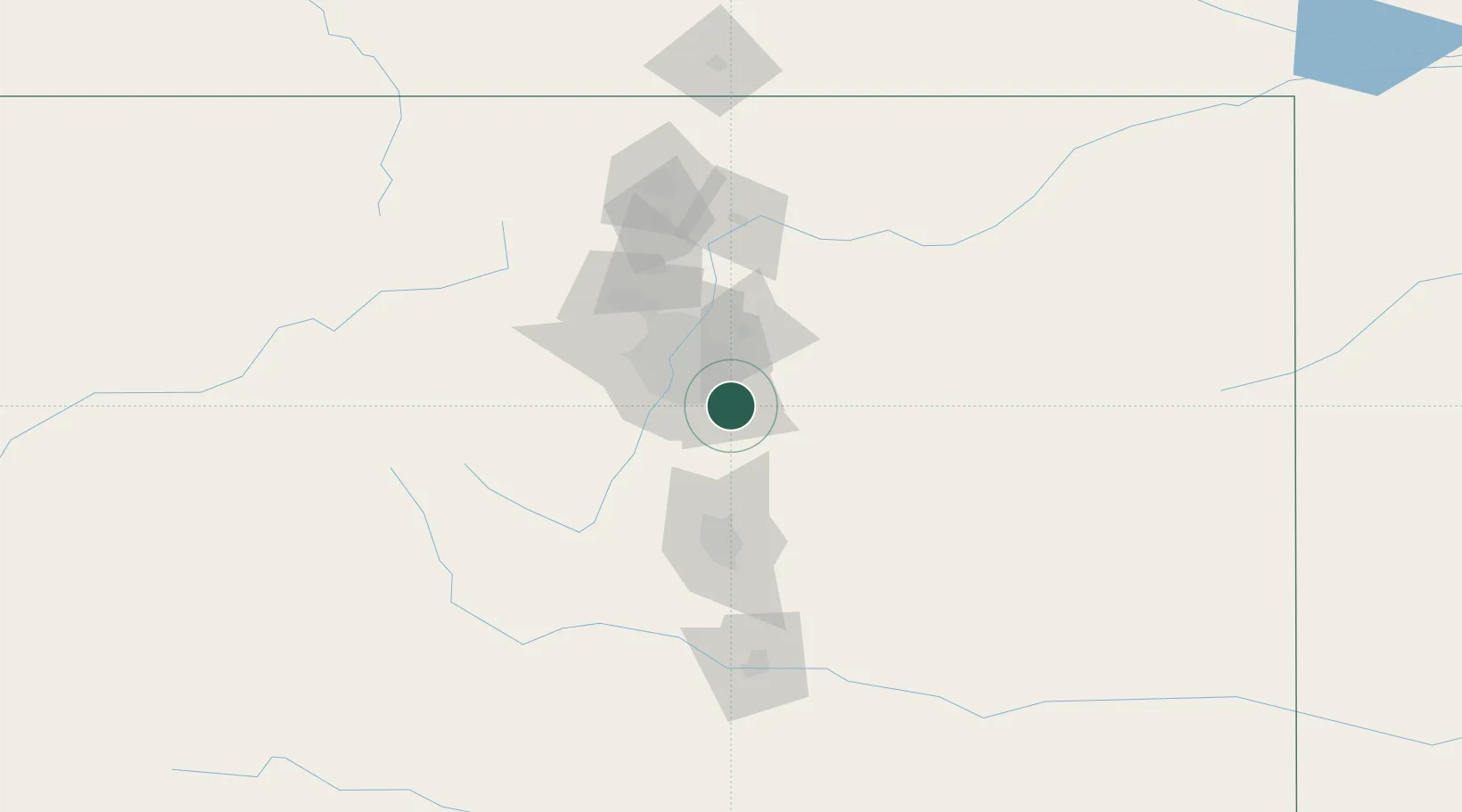
Parker
39.5167°, -104.7500°
49,550
Population
2
Transport functions
Transport Functions
Road
Multimodal
Hub Profile
Place type
Populated place
Region
Colorado
Population
49,550
Time zone
America/Denver
Elevation
1,789 m
Location
Nearby Logistics Neighbours
Cities
- 1Centennial11 km
- 2Lone Tree12 km
- 3Gateway13 km
- 4Castle Pines14 km
- 5Loan Tree14 km
Ports
- 1Duluth1302 km
- 2Superior1302 km
- 3Newport Beach1343 km
- 4San Diego1347 km
- 5Rosarito1365 km
Airports
Trade Zones
- 1FTZ No. 123 Denver32 km
- 2FTZ No. 298 Jefferson County43 km
- 3FTZ No. 112 Colorado Springs76 km
- 4FTZ No. 293 Limon96 km
- 5FTZ No. 110 Albuquerque526 km
DatabookThe Record of Consolidated Knowledge
United States beyond logistics?