Foreign Trade Zone · United States

FTZ No. 114 Peoria Active
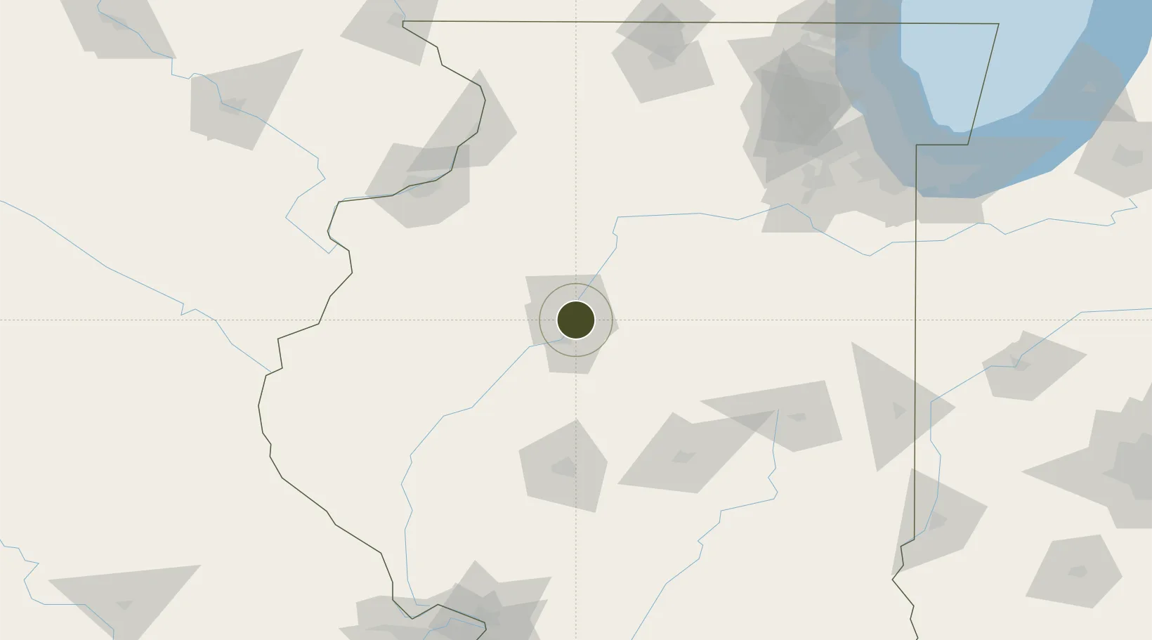
40.6955°, -89.5892°
208.2 km
Nearest port
9.4 km
Nearest airport

Gateway access

Nearest neighbours — logibook spatial index (haversine) over the source coordinates

Zone profile

Zone type
Foreign Trade Zone
Open Zone Map
Region
Illinois
Open Zone Map
Status
Active
Open Zone Map
Management
Public
Open Zone Map
Operator
Economic Development Council for Central Illinois
Open Zone Map
Legal framework
Foreign-Trade Zones Act
Open Zone Map

Location

Location of ozm-4837
Natural Earth 10m (public domain) · Illinois · ozm-4837 · 40.70, -89.59GoogleOSMYandex

Nearby Logistics Neighbours

Ports
  1. 1Calumet Harbor208 km
  2. 2Indiana Harbor210 km
  3. 3Chicago212 km
  4. 4Gary215 km
  5. 5Wilmette222 km
Nearest neighbours — logibook spatial index (haversine) over the source coordinates
Airports
  1. 1General Wayne A. Downing Peoria International Airport9 km
  2. 2Central Illinois Regional Airport at Bloomington-Normal62 km
  3. 3Abraham Lincoln Capital Airport95 km
  4. 4Decatur Airport114 km
  5. 5Quad City International Airport114 km
Nearest neighbours — logibook spatial index (haversine) over the source coordinates
Cities
  1. 1Peoria Heights5 km
  2. 2Edwards15 km
  3. 3Washington16 km
  4. 4Metamora22 km
  5. 5Chillicothe26 km
Nearest neighbours — logibook spatial index (haversine) over the source coordinates
Trade Zones
  1. 1FTZ No. 245 Decatur104 km
  2. 2FTZ No. 055 Burlington128 km
  3. 3FTZ No. 176 Rockford176 km
  4. 4FTZ No. 271 Jo-Daviess and Carroll Counties188 km
  5. 5FTZ No. 022 Chicago191 km
Nearest neighbours — logibook spatial index (haversine) over the source coordinates
DatabookThe Record of Consolidated Knowledge
United States beyond logistics?
Browse databook

All Sources

Trade ZonesOpen Zone Map
CC BY
Portsthe NGA World Port Index
Public domain (US gov)
AirportsOurAirports
Public domain
LocationsUN/LOCODE
UN/LOCODE — free
← United States trade zones