Transport Functions
Rail
Road
Hub Profile
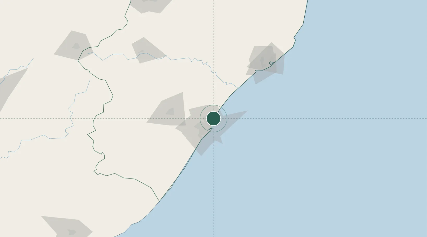
Region
KZN
Location
Nearby Logistics Neighbours
Cities
- 1La Lucia4 km
- 2Briardene9 km
- 3Kwamashu10 km
- 4Canelands12 km
- 5Stamford Hill13 km
Ports
- 1Durban17 km
- 2Richards Bay141 km
- 3Maputo441 km
- 4East London476 km
- 5Port Elizabeth697 km
Airports
- 1Virginia Airport7 km
- 2King Shaka International Airport12 km
- 3Pietermaritzburg Airport67 km
- 4Margate Airport145 km
- 5Richards Bay Airport146 km
Trade Zones
- 1Dube TradePort10 km
- 2Dube AgriZone12 km
- 3Dube TradeZone13 km
- 4Durban Aerotropolis16 km
- 5Isithebe Industrial Park76 km
DatabookThe Record of Consolidated Knowledge
South Africa beyond logistics?