UN/LOCODE hub · South Africa
ZACMT

Compensation

-29.5000°, 31.1833°
1
Transport functions

Transport Functions

Multimodal
UN/LOCODE

Hub Profile

Region
KZN
GeoNames

Location

Location of ZACMT
Natural Earth 10m (public domain) · KZN · ZACMT · -29.50, 31.18GoogleOSMYandex

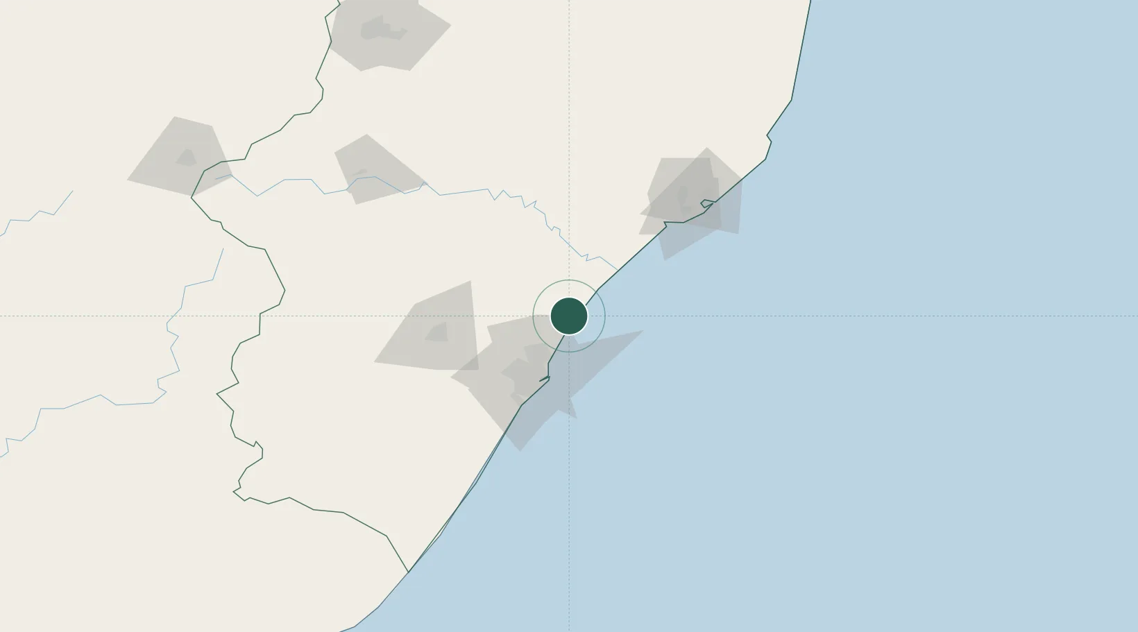
Nearby Logistics Neighbours

Cities
  1. 1Ballito Bay5 km
  2. 2Canelands18 km
  3. 3Umhlanga Rocks26 km
  4. 4La Lucia30 km
  5. 5Briardene34 km
Nearest neighbours — logibook spatial index (haversine) over the source coordinates
Ports
  1. 1Durban42 km
  2. 2Richards Bay117 km
  3. 3Maputo416 km
  4. 4East London501 km
  5. 5Port Elizabeth721 km
Nearest neighbours — logibook spatial index (haversine) over the source coordinates
Airports
  1. 1King Shaka International Airport14 km
  2. 2Virginia Airport32 km
  3. 3Pietermaritzburg Airport78 km
  4. 4Richards Bay Airport122 km
  5. 5Prince Mangosuthu Buthelezi Airport133 km
Nearest neighbours — logibook spatial index (haversine) over the source coordinates
Trade Zones
  1. 1Durban Aerotropolis11 km
  2. 2Dube TradeZone14 km
  3. 3Dube AgriZone15 km
  4. 4Dube TradePort16 km
  5. 5Isithebe Industrial Park50 km
Nearest neighbours — logibook spatial index (haversine) over the source coordinates
DatabookThe Record of Consolidated Knowledge
South Africa beyond logistics?
Browse databook

All Sources

LocationsUN/LOCODE
UN/LOCODE — free
Portsthe NGA World Port Index
Public domain (US gov)
AirportsOurAirports
Public domain
Trade Zonesthe World Bank SEZ database
CC BY 4.0
Trade ZonesOpen Zone Map
CC BY
← South Africa locations