Free Trade Zone · South Africa
Richards Bay Special Economic Zone Active
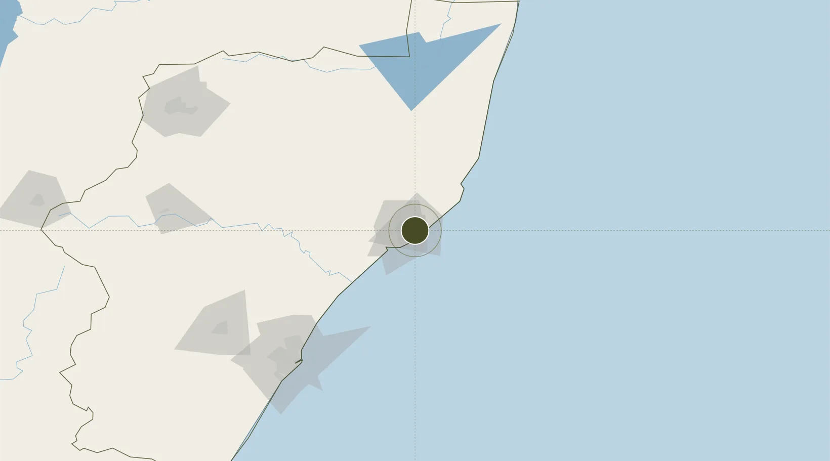
-28.7814°, 32.0142°
467 ha
Zone area
8.8 km
Nearest port
8.8 km
Nearest airport
Gateway access
Zone profile
Zone type
Free Trade Zone
Region
KwaZulu-Natal
Status
Active
Management
Public-Private Partnership
Operator
Transnet National Ports Authority
Legal framework
Notice No. 644 of 2002
Location
Nearby Logistics Neighbours
Ports
- 1Richards Bay9 km
- 2Durban152 km
- 3Maputo318 km
- 4East London613 km
- 5Inhambane637 km
Airports
- 1Richards Bay Airport9 km
- 2Prince Mangosuthu Buthelezi Airport78 km
- 3King Shaka International Airport127 km
- 4Mkuze Airport129 km
- 5Virginia Airport144 km
Cities
- 1Alton2 km
- 2Felixton13 km
- 3Wandsbeck63 km
- 4Isithebe68 km
- 5Compensation114 km
Trade Zones
- 1Isithebe Industrial Park69 km
- 2Durban Aerotropolis125 km
- 3Dube TradeZone127 km
- 4Dube AgriZone128 km
- 5Dube TradePort129 km
DatabookThe Record of Consolidated Knowledge
South Africa beyond logistics?