Transport Functions
Multimodal
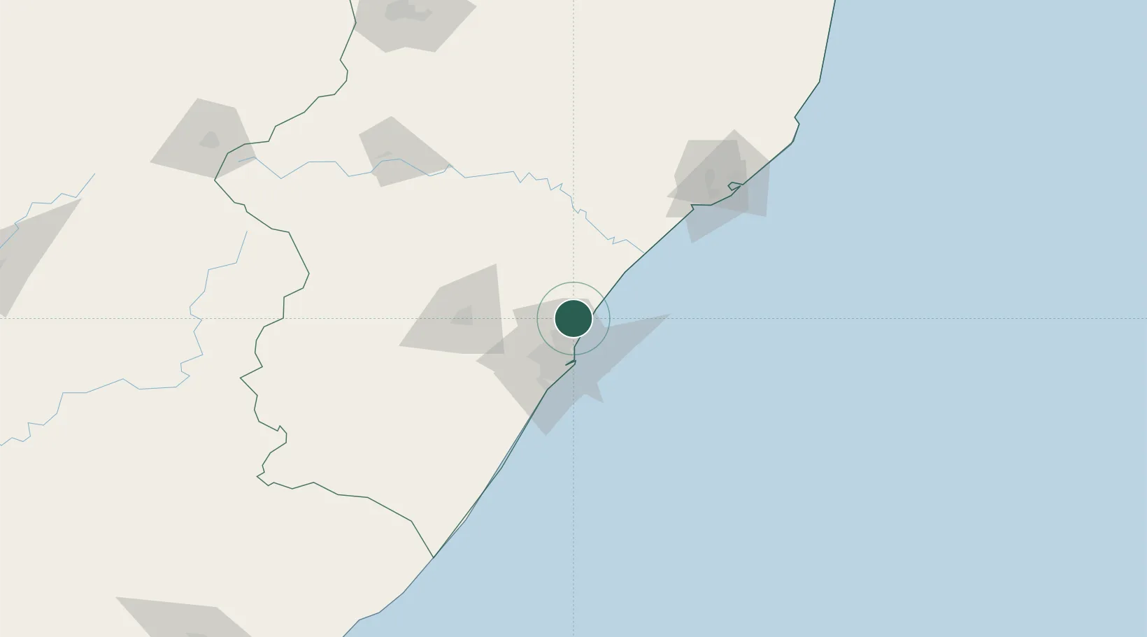
Hub Profile
Place type
Urban district
Region
KwaZulu-Natal
Time zone
Africa/Johannesburg
Elevation
37 m
Location
Nearby Logistics Neighbours
Cities
- 1Umhlanga Rocks12 km
- 2La Lucia15 km
- 3Kwamashu16 km
- 4Briardene17 km
- 5Compensation18 km
Ports
- 1Durban28 km
- 2Richards Bay136 km
- 3Maputo432 km
- 4East London483 km
- 5Port Elizabeth702 km
Airports
Trade Zones
- 1Dube AgriZone4 km
- 2Dube TradePort5 km
- 3Dube TradeZone6 km
- 4Durban Aerotropolis7 km
- 5Isithebe Industrial Park68 km
DatabookThe Record of Consolidated Knowledge
South Africa beyond logistics?