Medium airport · South Africa
Richards Bay AirportFARB
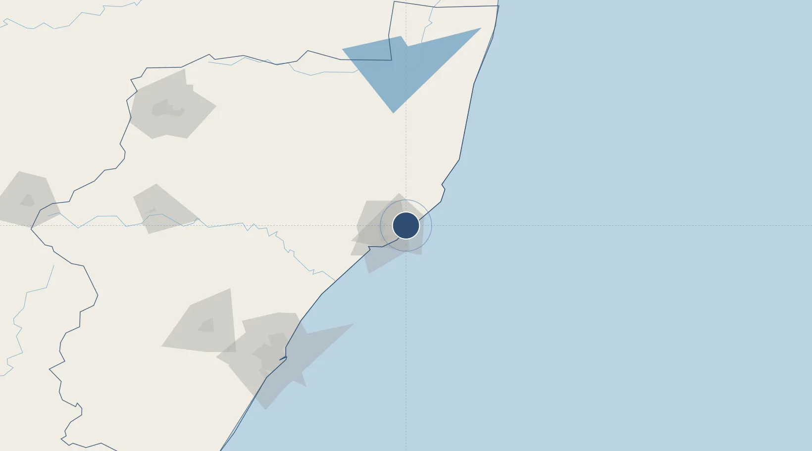
-28.7410°, 32.0921°
4,265 ft
Longest runway
1
Runways
109 ft
Elevation
Runway & Layout

Radio Frequencies
TWR
118.9 MHz
APP
118.9 MHz
Navaids
RB NDB Richards Bay 337 kHz
RBV VOR-DME Richards Bay 113.00 MHz
RI NDB Richards Bay 465 kHz
Runways · 1
| Runway | Dimensions | Surface | True heading | Lit |
|---|---|---|---|---|
| 05/23 | 4,265 × 69ft | Asphalt | 034° | ✓ |
Airport Specifications
IATA code
RCB
ICAO code
FARB
Airport class
Medium airport
Scheduled service
Yes
Runway surface
Asphalt
Served city
Richards Bay
Location
Nearby Logistics Neighbours
Airports
- 1Prince Mangosuthu Buthelezi Airport81 km
- 2Mkuze Airport124 km
- 3King Shaka International Airport135 km
- 4Virginia Airport152 km
- 5Pietermaritzburg Airport193 km
Cities
- 1Alton8 km
- 2Felixton22 km
- 3Wandsbeck69 km
- 4Isithebe77 km
- 5Compensation122 km
Ports
- 1Richards Bay8 km
- 2Durban160 km
- 3Maputo312 km
- 4East London622 km
- 5Inhambane630 km
Trade Zones
- 1Richards Bay Special Economic Zone9 km
- 2Isithebe Industrial Park77 km
- 3Durban Aerotropolis133 km
- 4Dube TradeZone135 km
- 5Dube AgriZone137 km
DatabookThe Record of Consolidated Knowledge
South Africa beyond logistics?