Diversified Zone · South Africa

Dube TradePort Active
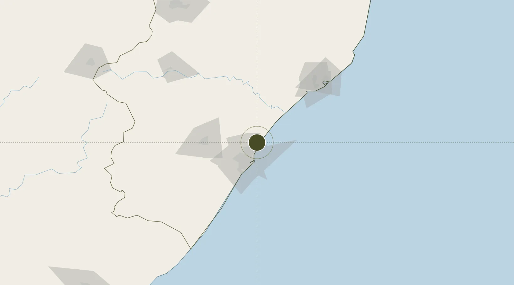
-29.6259°, 31.0971°
16 ha
Zone area
26.9 km
Nearest port
2.5 km
Nearest airport

Gateway access

Nearest neighbours — logibook spatial index (haversine) over the source coordinates

Zone profile

Zone type
Diversified Zone
Open Zone Map
Region
KwaZulu-Natal
Open Zone Map
Status
Active
Open Zone Map
Management
Private
Open Zone Map
Operator
Dube TradePort Corporation
Open Zone Map
Legal framework
Kwazulu-Natal Dube Tradeport Corporation Act No. 02 of 2010
Open Zone Map

Location

Location of ozm-4144
Natural Earth 10m (public domain) · KwaZulu-Natal · ozm-4144 · -29.63, 31.10GoogleOSMYandex

Nearby Logistics Neighbours

Ports
  1. 1Durban27 km
  2. 2Richards Bay133 km
  3. 3Maputo432 km
  4. 4East London485 km
  5. 5Port Elizabeth705 km
Nearest neighbours — logibook spatial index (haversine) over the source coordinates
Airports
  1. 1King Shaka International Airport3 km
  2. 2Virginia Airport17 km
  3. 3Pietermaritzburg Airport68 km
  4. 4Richards Bay Airport138 km
  5. 5Prince Mangosuthu Buthelezi Airport148 km
Nearest neighbours — logibook spatial index (haversine) over the source coordinates
Cities
  1. 1Canelands5 km
  2. 2Umhlanga Rocks10 km
  3. 3La Lucia14 km
  4. 4Ballito Bay16 km
  5. 5Compensation16 km
Nearest neighbours — logibook spatial index (haversine) over the source coordinates
Trade Zones
  1. 1Dube AgriZone2 km
  2. 2Dube TradeZone3 km
  3. 3Durban Aerotropolis6 km
  4. 4Isithebe Industrial Park66 km
  5. 5Richards Bay Special Economic Zone129 km
Nearest neighbours — logibook spatial index (haversine) over the source coordinates
DatabookThe Record of Consolidated Knowledge
South Africa beyond logistics?
Browse databook

All Sources

Trade ZonesOpen Zone Map
CC BY
Portsthe NGA World Port Index
Public domain (US gov)
AirportsOurAirports
Public domain
LocationsUN/LOCODE
UN/LOCODE — free
← South Africa trade zones