UN/LOCODE hub · South Africa
ZAMKD
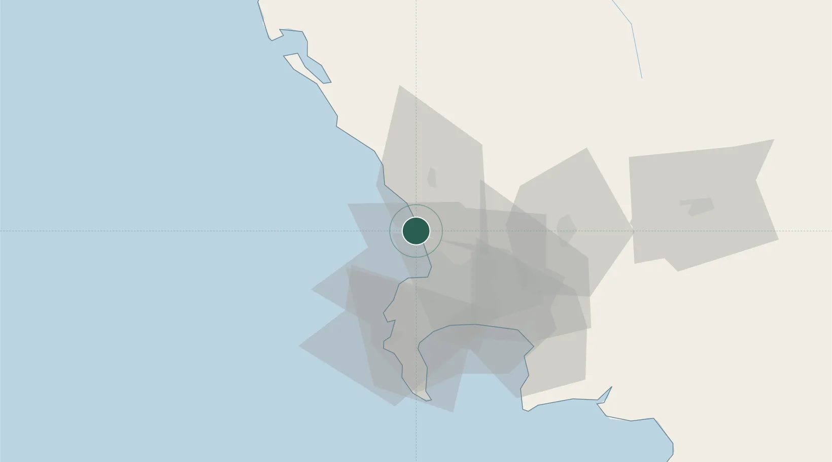
Melkbosstrand
-33.7333°, 18.4333°
13,542
Population
1
Transport functions
Transport Functions
Multimodal
Hub Profile
Place type
Populated place
Region
Western Cape
Population
13,542
Time zone
Africa/Johannesburg
Elevation
5 m
Location
Nearby Logistics Neighbours
Cities
- 1Bloubergstrand8 km
- 2Philidelphia15 km
- 3Milnerton16 km
- 4Montague Gardens17 km
- 5Bothasig17 km
Ports
- 1Cape Town20 km
- 2Simonstown50 km
- 3Saldanha Bay89 km
- 4Mossel Bay346 km
- 5Port Elizabeth666 km
Airports
- 1Ysterplaat Air Force Base20 km
- 2Cape Town International Airport31 km
- 3Langebaanweg Airport89 km
- 4Saldanha/Vredenburg Airport96 km
- 5Robertson Airport136 km
Trade Zones
DatabookThe Record of Consolidated Knowledge
South Africa beyond logistics?