Export Processing Zone · South Africa

Mafikeng (Mahikeng) Industrial development Zone Inactive
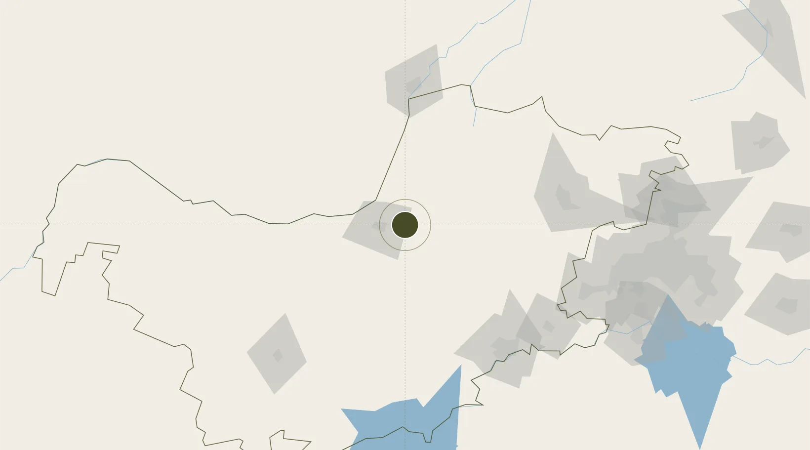
-25.8352°, 25.8404°
100 ha
Zone area
670.7 km
Nearest port
29.6 km
Nearest airport

Gateway access

Nearest neighbours — logibook spatial index (haversine) over the source coordinates

Zone profile

Zone type
Export Processing Zone
Open Zone Map
Region
North West
Open Zone Map
Status
Inactive
Open Zone Map
Management
Public
Open Zone Map
Operator
North West Development Corporation
Open Zone Map
Legal framework
Special Economic Zones Act No.16 of 2014
Open Zone Map

Location

Location of ozm-4152
Natural Earth 10m (public domain) · North West · ozm-4152 · -25.84, 25.84GoogleOSMYandex

Nearby Logistics Neighbours

Ports
  1. 1Maputo671 km
  2. 2Durban682 km
  3. 3Richards Bay701 km
  4. 4East London825 km
  5. 5Port Elizabeth903 km
Nearest neighbours — logibook spatial index (haversine) over the source coordinates
Airports
  1. 1Mmabatho International Airport30 km
  2. 2Morningside Farm Airport108 km
  3. 3Sir Seretse Khama International Airport143 km
  4. 4P C Pelser Airport145 km
  5. 5Pilanesberg International Airport145 km
Nearest neighbours — logibook spatial index (haversine) over the source coordinates
Cities
  1. 1Zeerust42 km
  2. 2East End45 km
  3. 3Ramotswa108 km
  4. 4Gaborone130 km
  5. 5Gaberones Camp130 km
Nearest neighbours — logibook spatial index (haversine) over the source coordinates
Trade Zones
  1. 1Lobatse Special Economic Zone72 km
  2. 2Gaborone Fairgrounds Special Economic Zone129 km
  3. 3Sir Seretse Khama Intl Airport Zone139 km
  4. 4Bojanala (Platinum Valley) Special Economic Zone157 km
  5. 5Vaal Special Economic Zone228 km
Nearest neighbours — logibook spatial index (haversine) over the source coordinates
DatabookThe Record of Consolidated Knowledge
South Africa beyond logistics?
Browse databook

All Sources

Trade ZonesOpen Zone Map
CC BY
Portsthe NGA World Port Index
Public domain (US gov)
AirportsOurAirports
Public domain
LocationsUN/LOCODE
UN/LOCODE — free
← South Africa trade zones