Large airport · Botswana
Sir Seretse Khama International AirportFBSK
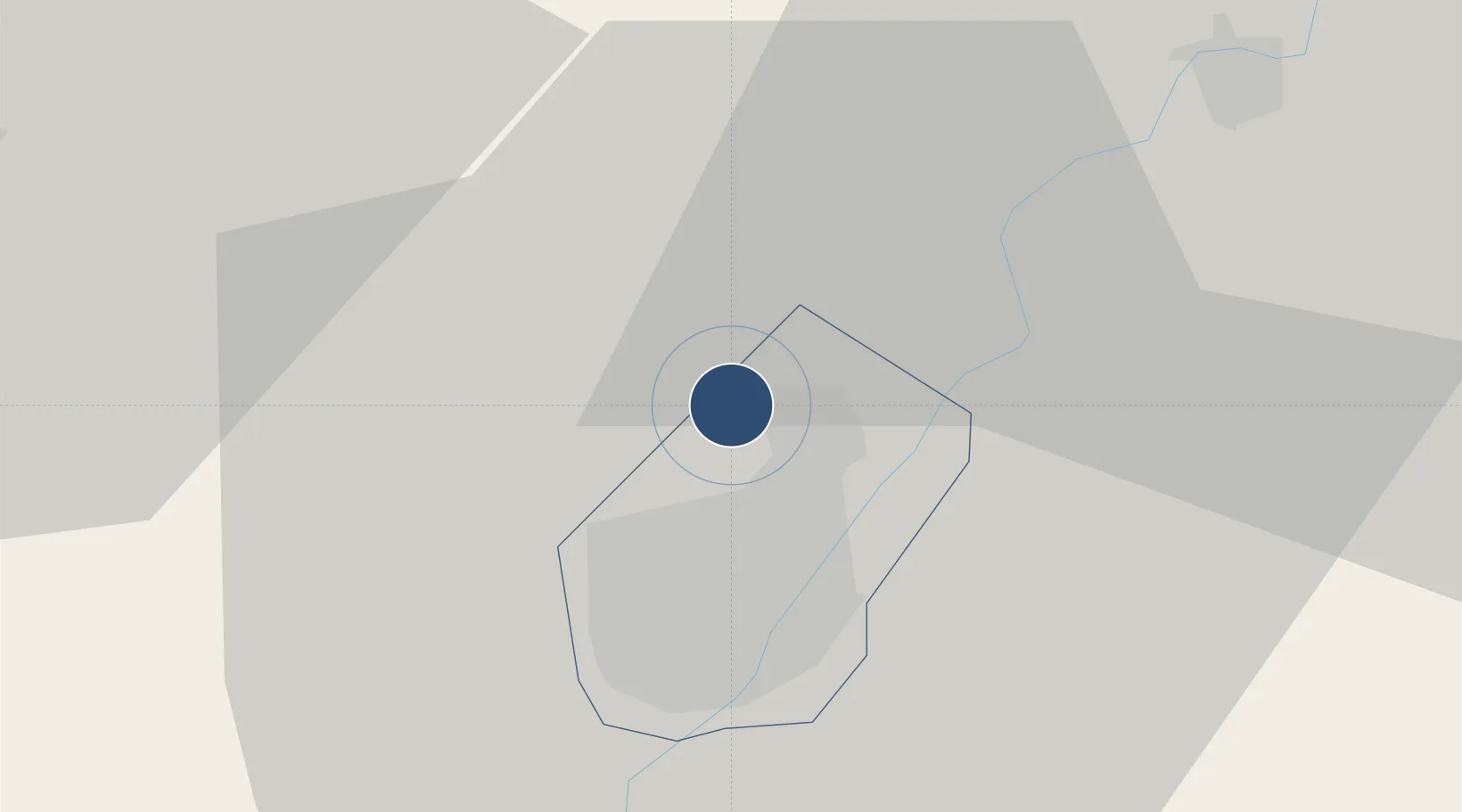
-24.5552°, 25.9182°
13,123 ft
Longest runway
1
Runways
3,299 ft
Elevation
Runway & Layout

Radio Frequencies
TWR
118.3 MHz
KHAMA TWR
GND
121.9 MHz
KHAMA GND
APP
128.2 MHz
GABORONE APP
Navaids
GBE NDB Gaborone 311 kHz
GBV VOR-DME Gaborone 113.70 MHz
Runways · 1
| Runway | Dimensions | Surface | True heading | Lit |
|---|---|---|---|---|
| 08/26 | 13,123 × 148ft | Concrete | 062° | ✓ |
Airport Specifications
IATA code
GBE
ICAO code
FBSK
Airport class
Large airport
Scheduled service
Yes
Runway surface
Concrete
Served city
Gaborone
Location
Nearby Logistics Neighbours
Airports
- 1Jwaneng Airport124 km
- 2Mmabatho International Airport143 km
- 3Pilanesberg International Airport153 km
- 4Morningside Farm Airport162 km
- 5Rustenburg Airport182 km
Cities
- 1Gaberones Camp12 km
- 2Gaborone13 km
- 3Ramotswa36 km
- 4Zeerust110 km
- 5East End175 km
Ports
- 1Maputo684 km
- 2Richards Bay775 km
- 3Durban780 km
- 4East London963 km
- 5Inhambane964 km
DatabookThe Record of Consolidated Knowledge
Botswana beyond logistics?