Export Processing Zone · Botswana

Lobatse Special Economic Zone Under Development
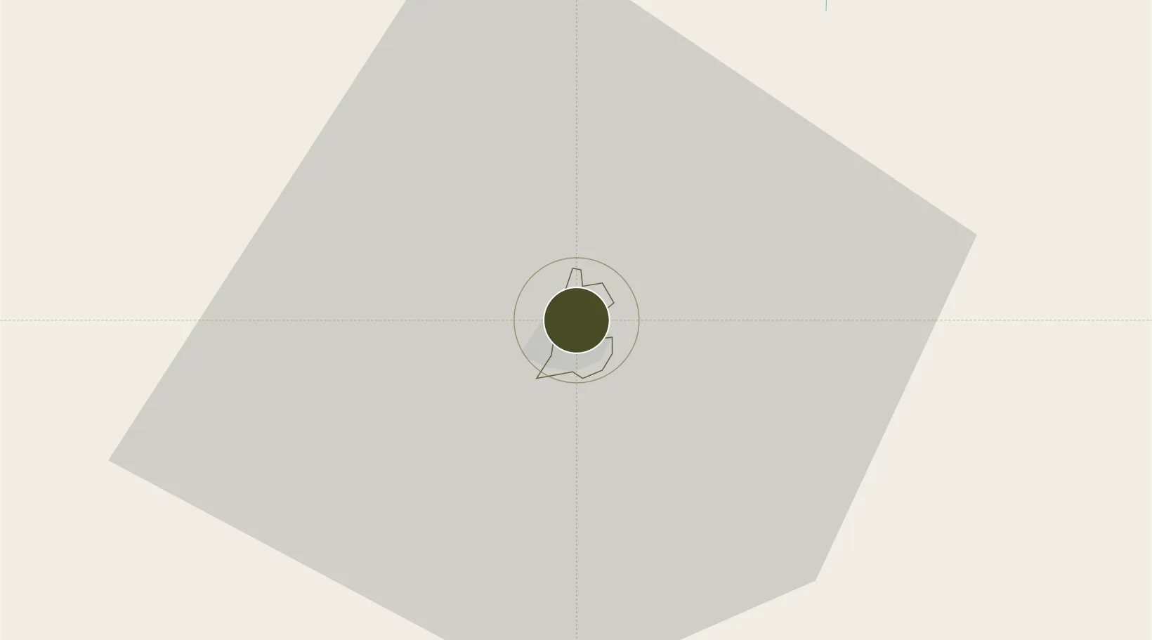
-25.2037°, 25.6834°
142 ha
Zone area
693.2 km
Nearest port
67.5 km
Nearest airport

Gateway access

Nearest neighbours — logibook spatial index (haversine) over the source coordinates

Zone profile

Zone type
Export Processing Zone
Open Zone Map
Region
Lobatse
Open Zone Map
Status
Under Development
Open Zone Map
Management
Public
Open Zone Map
Operator
Minister of Finance and Economic Development
Open Zone Map
Legal framework
Special Economic Zones Act (Act 13, 2015)
Open Zone Map

Location

Location of ozm-206
Natural Earth 10m (public domain) · Lobatse · ozm-206 · -25.20, 25.68GoogleOSMYandex

Nearby Logistics Neighbours

Ports
  1. 1Maputo693 km
  2. 2Durban742 km
  3. 3Richards Bay751 km
  4. 4East London897 km
  5. 5Port Elizabeth973 km
Nearest neighbours — logibook spatial index (haversine) over the source coordinates
Airports
  1. 1Mmabatho International Airport68 km
  2. 2Sir Seretse Khama International Airport76 km
  3. 3Jwaneng Airport120 km
  4. 4Morningside Farm Airport135 km
  5. 5Pilanesberg International Airport151 km
Nearest neighbours — logibook spatial index (haversine) over the source coordinates
Cities
  1. 1Ramotswa40 km
  2. 2Zeerust54 km
  3. 3Gaborone64 km
  4. 4Gaberones Camp64 km
  5. 5East End113 km
Nearest neighbours — logibook spatial index (haversine) over the source coordinates
DatabookThe Record of Consolidated Knowledge
Botswana beyond logistics?
Browse databook

All Sources

Trade ZonesOpen Zone Map
CC BY
Portsthe NGA World Port Index
Public domain (US gov)
AirportsOurAirports
Public domain
LocationsUN/LOCODE
UN/LOCODE — free
← Botswana trade zones