Medium airport · South Africa

Pilanesberg International AirportFAPN
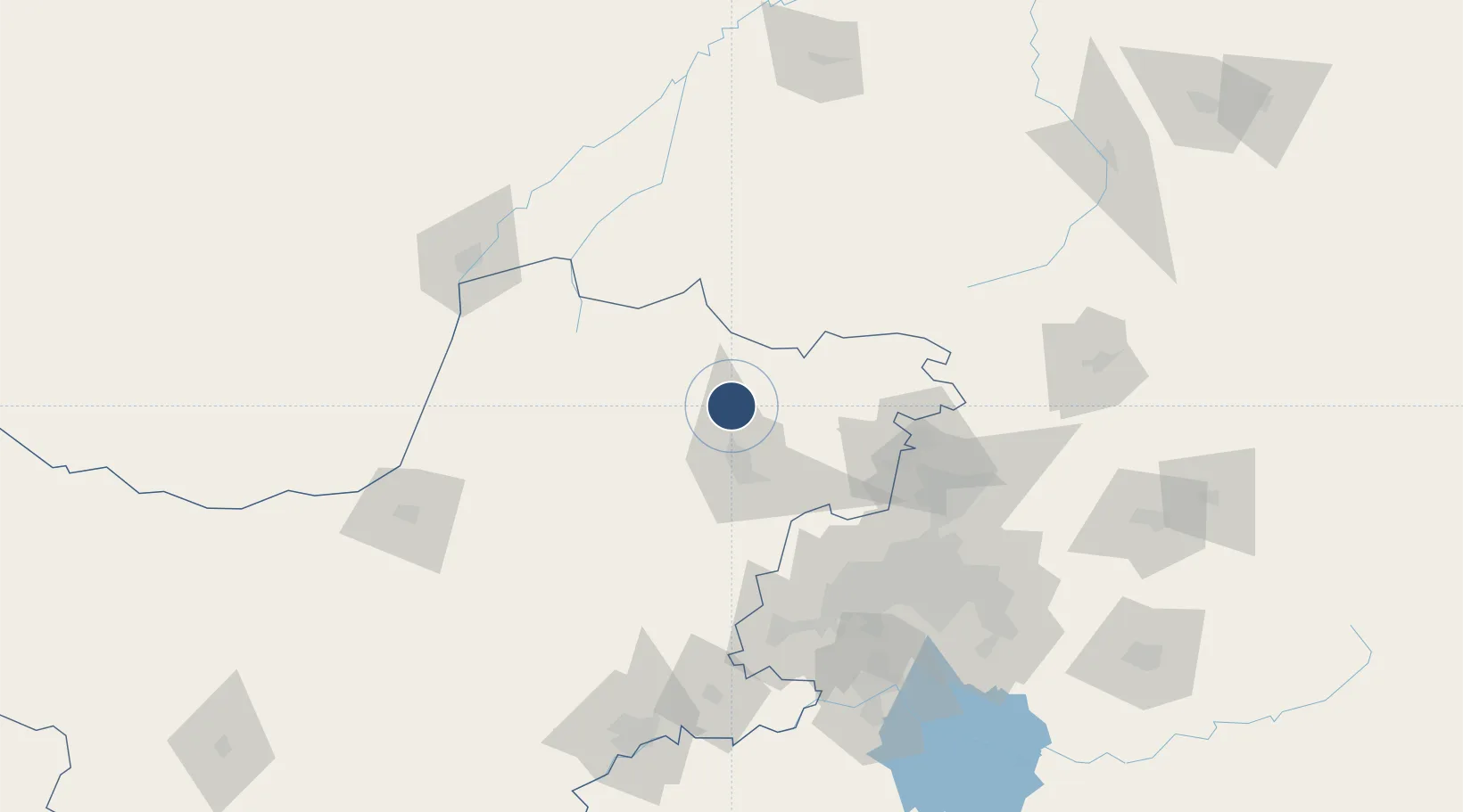
-25.3338°, 27.1734°
9,022 ft
Longest runway
1
Runways
3,412 ft
Elevation

Runway & Layout

Pilanesberg International Airport runway & taxiway layout
Runway & taxiway layout — OpenStreetMap (ODbL) / OurAirports

Radio Frequencies

TWR
118.4 MHz
OurAirports

Navaids

PLB NDB Pilanesberg 215 kHz
PLG NDB Pilanesberg 480 kHz
PNV VOR-DME Pilanesberg 112.60 MHz
OurAirports

Runways · 1

RunwayDimensions SurfaceTrue headingLit
05/23 9,022 × 98ft Asphalt 037°
OurAirports

Airport Specifications

IATA code
NTY
OurAirports
ICAO code
FAPN
OurAirports
Airport class
Medium airport
OurAirports
Scheduled service
No
OurAirports
Runway surface
Asphalt
OurAirports
Served city
Pilanesberg
OurAirports

Location

Location of FAPN
Natural Earth 10m (public domain) · North West · FAPN · -25.33, 27.17GoogleOSMYandex

Nearby Logistics Neighbours

Airports
  1. 1Rustenburg Airport36 km
  2. 2Morningside Farm Airport49 km
  3. 3Lanseria International Airport101 km
  4. 4Wonderboom Airport111 km
  5. 5Swartkop Air Force Base113 km
Nearest neighbours — logibook spatial index (haversine) over the source coordinates
Cities
  1. 1Garankuwa88 km
  2. 2Longmeadow East90 km
  3. 3Onderstepoort107 km
  4. 4Kya Sands108 km
  5. 5Pretoria108 km
Nearest neighbours — logibook spatial index (haversine) over the source coordinates
Ports
  1. 1Maputo543 km
  2. 2Richards Bay622 km
  3. 3Durban633 km
  4. 4Inhambane846 km
  5. 5East London859 km
Nearest neighbours — logibook spatial index (haversine) over the source coordinates
Trade Zones
  1. 1Bojanala (Platinum Valley) Special Economic Zone13 km
  2. 2Babelegi Industrial Park111 km
  3. 3Tshwane Automotive Industrial Zone123 km
  4. 4OR Tambo Industrial Development Zone142 km
  5. 5Mafikeng (Mahikeng) Industrial development Zone145 km
Nearest neighbours — logibook spatial index (haversine) over the source coordinates
DatabookThe Record of Consolidated Knowledge
South Africa beyond logistics?
Browse databook

All Sources

AirportsOurAirports
Public domain
Portsthe NGA World Port Index
Public domain (US gov)
LocationsUN/LOCODE
UN/LOCODE — free
Trade Zonesthe World Bank SEZ database
CC BY 4.0
Trade ZonesOpen Zone Map
CC BY
InfrastructureOpenStreetMap
ODbL 1.0
← South Africa airports