Diversified Zone · South Africa

Vaal Special Economic Zone Under Development
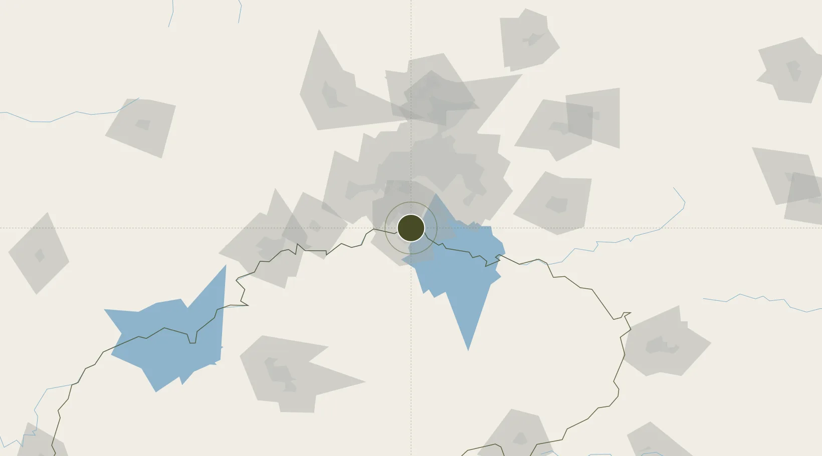
-26.7300°, 27.9012°
20 ha
Zone area
466.5 km
Nearest port
19.1 km
Nearest airport

Gateway access

Nearest neighbours — logibook spatial index (haversine) over the source coordinates

Zone profile

Zone type
Diversified Zone
Open Zone Map
Region
Free State
Open Zone Map
Status
Under Development
Open Zone Map
Management
Public-Private Partnership
Open Zone Map
Operator
FNB Business Banking
Open Zone Map
Legal framework
Special Economic Zones Act No.16 of 2014
Open Zone Map

Location

Location of ozm-4145
Natural Earth 10m (public domain) · Free State · ozm-4145 · -26.73, 27.90GoogleOSMYandex

Nearby Logistics Neighbours

Ports
  1. 1Durban467 km
  2. 2Maputo471 km
  3. 3Richards Bay473 km
  4. 4East London701 km
  5. 5Inhambane816 km
Nearest neighbours — logibook spatial index (haversine) over the source coordinates
Airports
  1. 1Vereeniging Airport19 km
  2. 2Rand Airport60 km
  3. 3O.R. Tambo International Airport74 km
  4. 4Potchefstroom Airport82 km
  5. 5Grand Central Airport86 km
Nearest neighbours — logibook spatial index (haversine) over the source coordinates
Cities
  1. 1Duncanville/Vereeniging10 km
  2. 2Botshabelo13 km
  3. 3De Deur22 km
  4. 4Randvaal31 km
  5. 5Langlaagte43 km
Nearest neighbours — logibook spatial index (haversine) over the source coordinates
Trade Zones
  1. 1OR Tambo Industrial Development Zone75 km
  2. 2Tshwane Automotive Industrial Zone119 km
  3. 3Babelegi Industrial Park158 km
  4. 4Bojanala (Platinum Valley) Special Economic Zone174 km
  5. 5Maluti-A-Phofung Special Economic Zone205 km
Nearest neighbours — logibook spatial index (haversine) over the source coordinates
DatabookThe Record of Consolidated Knowledge
South Africa beyond logistics?
Browse databook

All Sources

Trade ZonesOpen Zone Map
CC BY
Portsthe NGA World Port Index
Public domain (US gov)
AirportsOurAirports
Public domain
LocationsUN/LOCODE
UN/LOCODE — free
← South Africa trade zones