UN/LOCODE hub · South Africa
ZAEUS

Zeerust

-25.5333°, 26.0833°
19,154
Population
1
Transport functions

Transport Functions

Multimodal
UN/LOCODE

Hub Profile

Place type
District seat
GeoNames
Region
North West
GeoNames
Population
19,154
GeoNames
Time zone
Africa/Johannesburg
GeoNames
Elevation
1,213 m
GeoNames

Location

Location of ZAEUS
Natural Earth 10m (public domain) · North West · ZAEUS · -25.53, 26.08GoogleOSMYandex

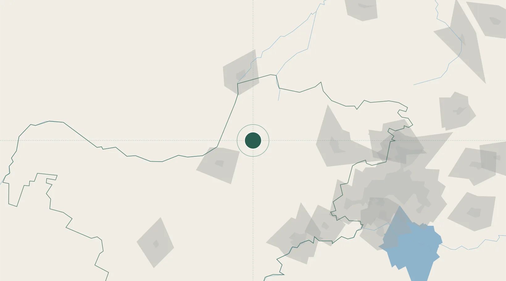
Nearby Logistics Neighbours

Cities
  1. 1East End65 km
  2. 2Ramotswa79 km
  3. 3Gaberones Camp98 km
  4. 4Gaborone98 km
  5. 5Doornfontein158 km
Nearest neighbours — logibook spatial index (haversine) over the source coordinates
Ports
  1. 1Maputo649 km
  2. 2Durban688 km
  3. 3Richards Bay698 km
  4. 4East London853 km
  5. 5Port Elizabeth937 km
Nearest neighbours — logibook spatial index (haversine) over the source coordinates
Airports
  1. 1Mmabatho International Airport61 km
  2. 2Morningside Farm Airport85 km
  3. 3Sir Seretse Khama International Airport110 km
  4. 4Pilanesberg International Airport112 km
  5. 5Rustenburg Airport120 km
Nearest neighbours — logibook spatial index (haversine) over the source coordinates
DatabookThe Record of Consolidated Knowledge
South Africa beyond logistics?
Browse databook

All Sources

LocationsUN/LOCODE
UN/LOCODE — free
LocationsGeoNames
CC BY 4.0
Portsthe NGA World Port Index
Public domain (US gov)
AirportsOurAirports
Public domain
Trade Zonesthe World Bank SEZ database
CC BY 4.0
Trade ZonesOpen Zone Map
CC BY
← South Africa locations