Transport Functions
Multimodal
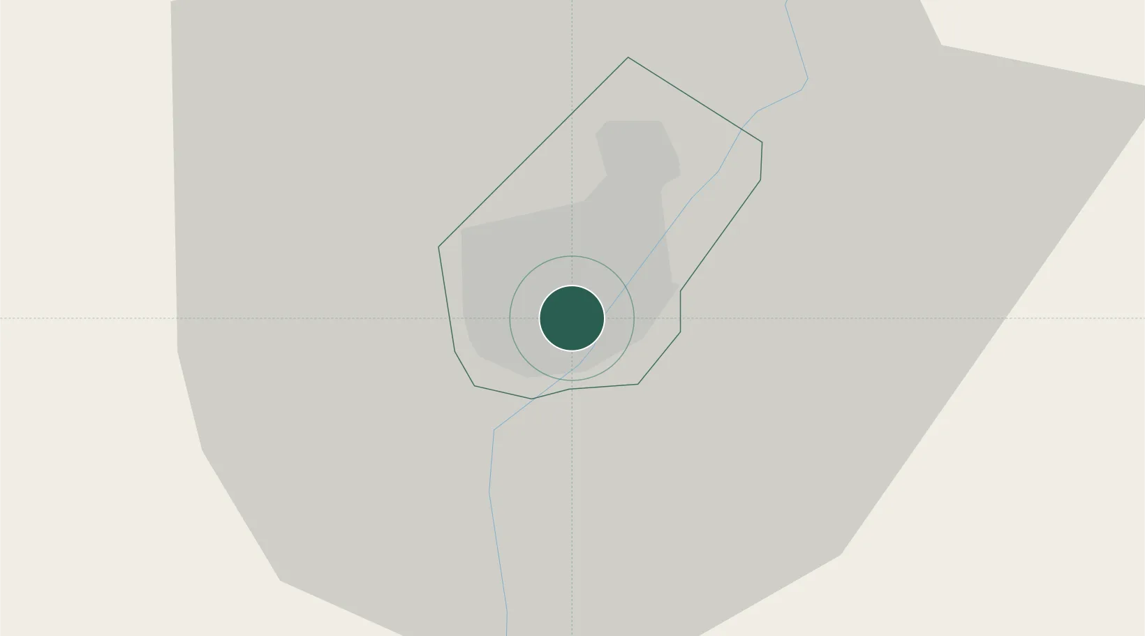
Hub Profile
Place type
Populated place
Region
South-East
Time zone
Africa/Gaborone
Elevation
1,004 m
Location
Nearby Logistics Neighbours
Ports
- 1Maputo682 km
- 2Richards Bay767 km
- 3Durban770 km
- 4East London950 km
- 5Inhambane965 km
Airports
DatabookThe Record of Consolidated Knowledge
Botswana beyond logistics?